Seaport · Greece
PiraievsGRPIR
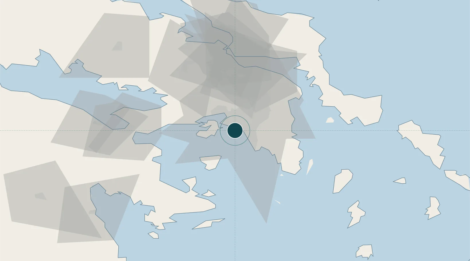
37.9333°, 23.6500°
23.2 m
Channel depth
2
Container terminals
431.6
Port liner connectivity
Channel & Berth Profile
Pilotage, Tugs & Services
Pilotage compulsoryYES
Pilotage availableYES
Pilotage advisableYES
Tug assistanceYES
Salvage tugsYES
Shore powerYES
Potable waterYES
Diesel bunkersYES
MedicalYES
Garbage disposalNO
Facilities & Capabilities
Container—
Ro-Ro—
Liquid bulk—
Dry bulk—
Oil terminal—
Break bulk—
Dry dockNO
RepairsNO
BunkeringYES
Rail linkYES
Dangerous cargo—
ISPS security—
Harbour Specifications
Harbour size
Large
Harbour type
Coastal (Breakwater)
Shelter
Excellent
Water body
Aegean Sea; Mediterranean Sea; North Atlantic Ocean
Pilotage
Yes
Liner Connectivity
431.6
PLSCI
Port Liner Shipping Connectivity Index for Piraievs, as published by UNCTAD for the latest available quarter. Higher values indicate stronger scheduled liner-shipping integration.
Shown relative to the highest per-port PLSCI in the dataset (1,657.9).
Location
Container Terminals · 2
PIRAEUS CONTAINER TERMINAL
GRPCT PIRAEUS CONTAINER TERMINAL SA
PIRAEUS PORT AUTHORITY
PPA PIRAEUS PORT AUTHORITY SA
Nearby Logistics Neighbours
Ports
- 1Megara Oil Terminal22 km
- 2Lavrio45 km
- 3Ormos Aliveriou61 km
- 4Navplio85 km
- 5Gavrio95 km
Cities
- 1Moschato/Athínai2 km
- 2Agios Ioannis Rentis2 km
- 3Moskhaton2 km
- 4Drapetzona4 km
- 5Távros5 km
Airports
- 1Elefsis Air Base17 km
- 2Athens Eleftherios Venizelos International Airport26 km
- 3Tanagra Air Base46 km
- 4Syros Airport128 km
- 5Skiros Airport136 km
Trade Zones
DatabookThe Record of Consolidated Knowledge
Greece beyond logistics?