Channel & Berth Profile
Pilotage, Tugs & Services
Pilotage compulsoryYES
Pilotage availableYES
Tug assistanceNO
Salvage tugsNO
Potable waterYES
Diesel bunkersYES
MedicalYES
Garbage disposalYES
Facilities & Capabilities
Container—
Ro-Ro—
Liquid bulk—
Dry bulk—
Oil terminal—
Break bulk—
Dry dock—
RepairsNO
BunkeringYES
Rail linkYES
Dangerous cargo—
ISPS security—
Harbour Specifications
Harbour size
Small
Harbour type
Coastal (Breakwater)
Shelter
Fair
Water body
Mediterranean Sea; North Atlantic Ocean
Pilotage
Yes
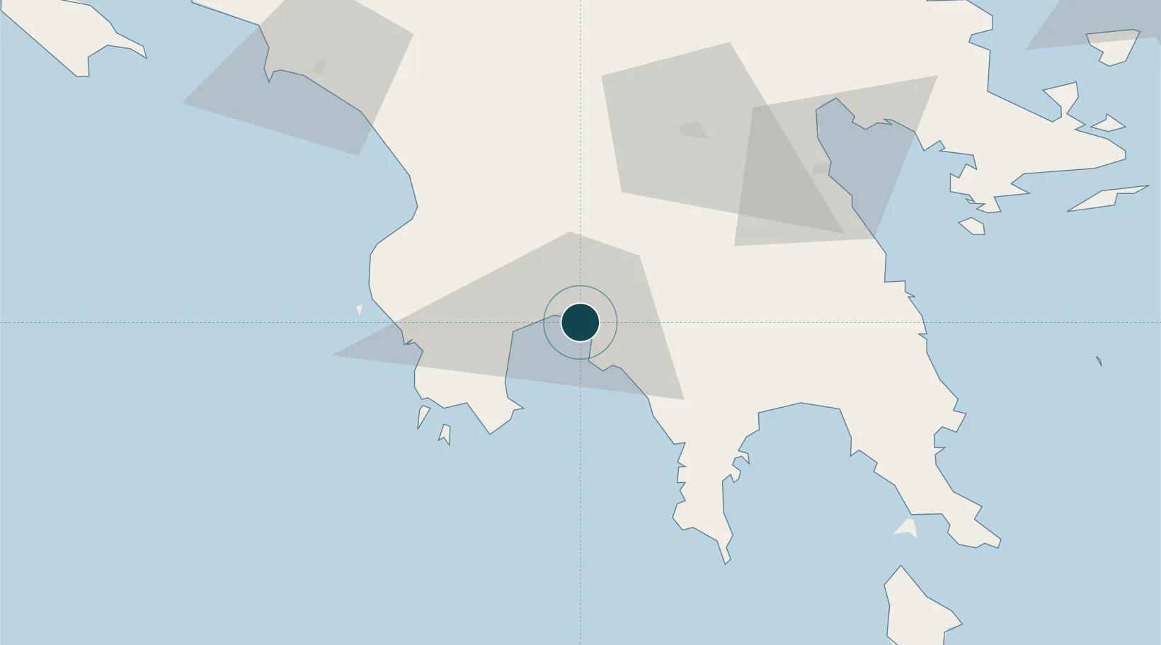
Location
Nearby Logistics Neighbours
Cities
- 1Xirokámbion30 km
- 2Pýlos41 km
- 3Methoni42 km
- 4Kiparissia48 km
- 5Gythion49 km
Airports
- 1Kalamata Airport10 km
- 2Kithira Airport115 km
- 3Andravida Air Base124 km
- 4Zakynthos International Airport Dionysios Solomos136 km
- 5Patras Araxos Agamemnon Airport140 km
Trade Zones
- 1Free Zone of Piraeus168 km
- 2Free Zone of Platigiali (Astakos Etoloakarnanias)185 km
- 3Free Zone of Heraklion334 km
- 4Gjirokastër Freezone379 km
- 5Përmet Freezone390 km
DatabookThe Record of Consolidated Knowledge
Greece beyond logistics?