Transport Functions
Port
Hub Profile
Region
11
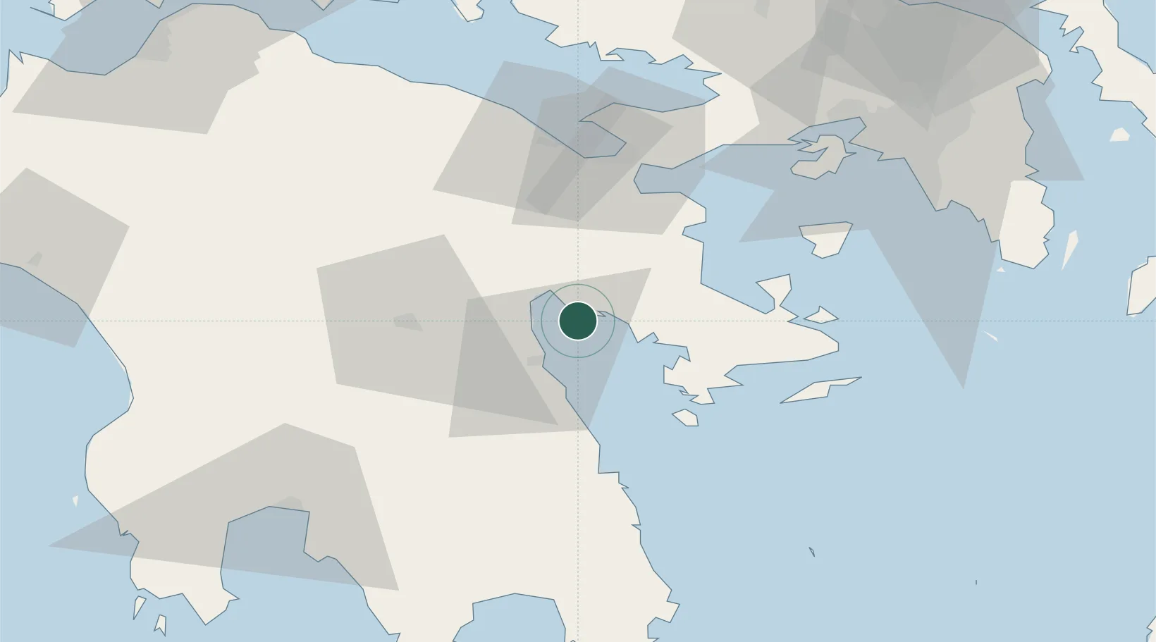
Location
Nearby Logistics Neighbours
Cities
- 1Náfplion7 km
- 2Ástros18 km
- 3Koilas Ermionidos27 km
- 4Epidavros29 km
- 5Palaiá Epídavros29 km
Ports
- 1Navplio7 km
- 2Megara Oil Terminal70 km
- 3Piraievs84 km
- 4Kalamata86 km
- 5Yithion89 km
Airports
- 1Elefsis Air Base87 km
- 2Kalamata Airport88 km
- 3Athens Eleftherios Venizelos International Airport107 km
- 4Tanagra Air Base111 km
- 5Kithira Airport139 km
Trade Zones
- 1Free Zone of Piraeus82 km
- 2Free Zone of Platigiali (Astakos Etoloakarnanias)187 km
- 3Free Zone of Heraklion326 km
- 4Free Zone of Thessaloniki347 km
- 5Gjirokastër Freezone367 km
DatabookThe Record of Consolidated Knowledge
Greece beyond logistics?