Transport Functions
Multimodal
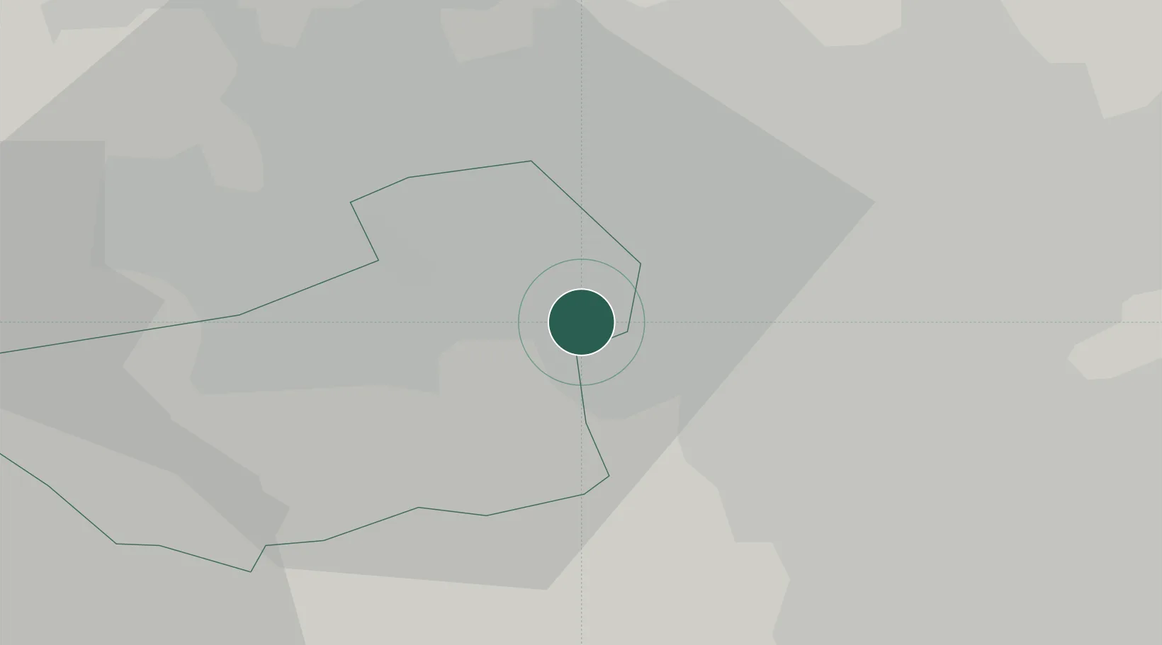
Hub Profile
Place type
Populated place
Region
England
Time zone
Europe/London
Elevation
37 m
Location
Nearby Logistics Neighbours
Cities
- 1Dewsbury3 km
- 2Wincobank7 km
- 3Wakefield9 km
- 4Huddersfield11 km
- 5Dudley Hill13 km
Ports
- 1Manchester48 km
- 2Howdendyke49 km
- 3Goole52 km
- 4New Holland82 km
- 5Lancaster88 km
Airports
- 1Leeds Bradford Airport22 km
- 2Leeds East Airport34 km
- 3Manchester Airport56 km
- 4RAF Topcliffe62 km
- 5RAF Leeming70 km
DatabookThe Record of Consolidated Knowledge
United Kingdom beyond logistics?