Transport Functions
Multimodal
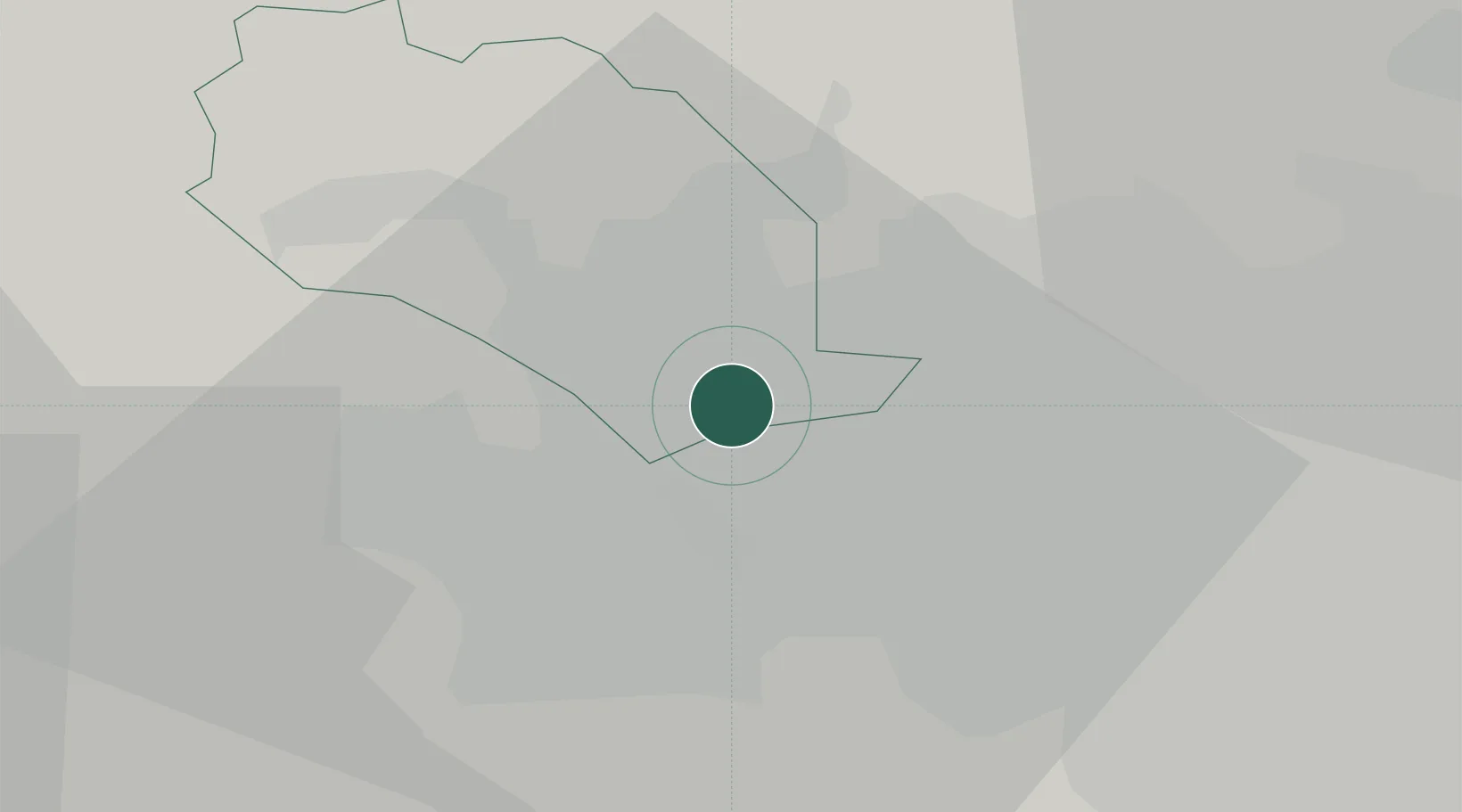
Hub Profile
Place type
Populated place
Region
England
Time zone
Europe/London
Elevation
205 m
Location
Nearby Logistics Neighbours
Cities
- 1Bradford3 km
- 2Laisterdyke4 km
- 3Stanningley7 km
- 4Apperley Bridge8 km
- 5Horsforth9 km
Ports
- 1Manchester48 km
- 2Howdendyke55 km
- 3Goole59 km
- 4Lancaster77 km
- 5Heysham84 km
Airports
- 1Leeds Bradford Airport12 km
- 2Leeds East Airport35 km
- 3RAF Topcliffe53 km
- 4Manchester Airport60 km
- 5RAF Leeming60 km
DatabookThe Record of Consolidated Knowledge
United Kingdom beyond logistics?