UN/LOCODE hub · United Kingdom
GBWFD
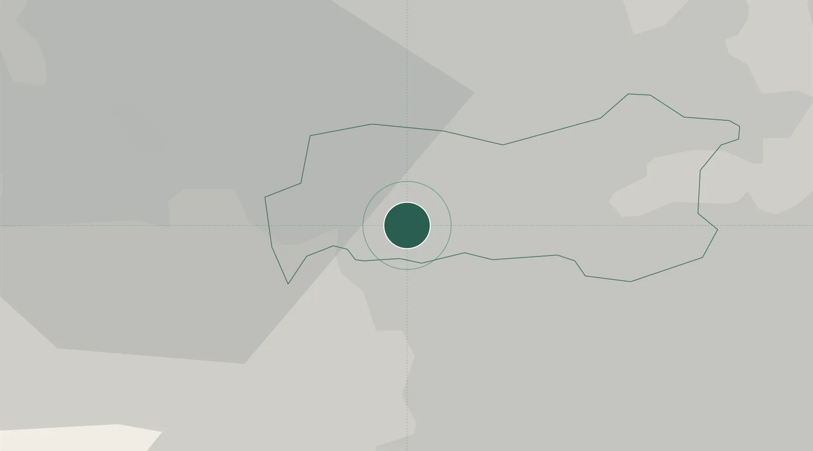
Wakefield
53.6245°, -1.4975°
109,766
Population
1
Transport functions
Transport Functions
Port
Hub Profile
Place type
Provincial seat
Region
England
Population
109,766
Time zone
Europe/London
Elevation
50 m
Logistics facilities
1
Location
Nearby Logistics Neighbours
Cities
- 1Royston4 km
- 2Barnsley8 km
- 3Brinsworth9 km
- 4Dewsbury12 km
- 5Whitwood13 km
Ports
- 1Howdendyke42 km
- 2Goole45 km
- 3Manchester53 km
- 4New Holland75 km
- 5Kingston Upon Hull81 km
Airports
- 1Leeds Bradford Airport29 km
- 2Leeds East Airport31 km
- 3Manchester Airport60 km
- 4RAF Topcliffe65 km
- 5RAF Leeming75 km
DatabookThe Record of Consolidated Knowledge
United Kingdom beyond logistics?