UN/LOCODE hub · United Kingdom
GBDWY
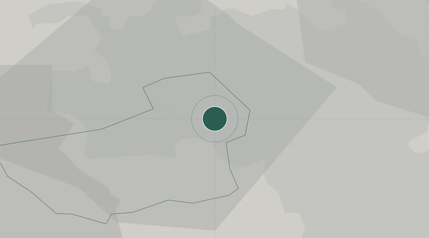
Dewsbury
53.6878°, -1.6386°
56,640
Population
1
Transport functions
Transport Functions
Port
Hub Profile
Place type
Populated place
Region
England
Population
56,640
Time zone
Europe/London
Elevation
44 m
Logistics facilities
1
Location
Nearby Logistics Neighbours
Cities
- 1Brinsworth3 km
- 2Wincobank5 km
- 3Dudley Hill10 km
- 4Huddersfield10 km
- 5Wakefield12 km
Ports
- 1Manchester47 km
- 2Howdendyke50 km
- 3Goole53 km
- 4New Holland84 km
- 5Lancaster85 km
Airports
- 1Leeds Bradford Airport20 km
- 2Leeds East Airport33 km
- 3Manchester Airport57 km
- 4RAF Topcliffe60 km
- 5RAF Leeming68 km
DatabookThe Record of Consolidated Knowledge
United Kingdom beyond logistics?