UN/LOCODE hub · United Kingdom
GBHDF
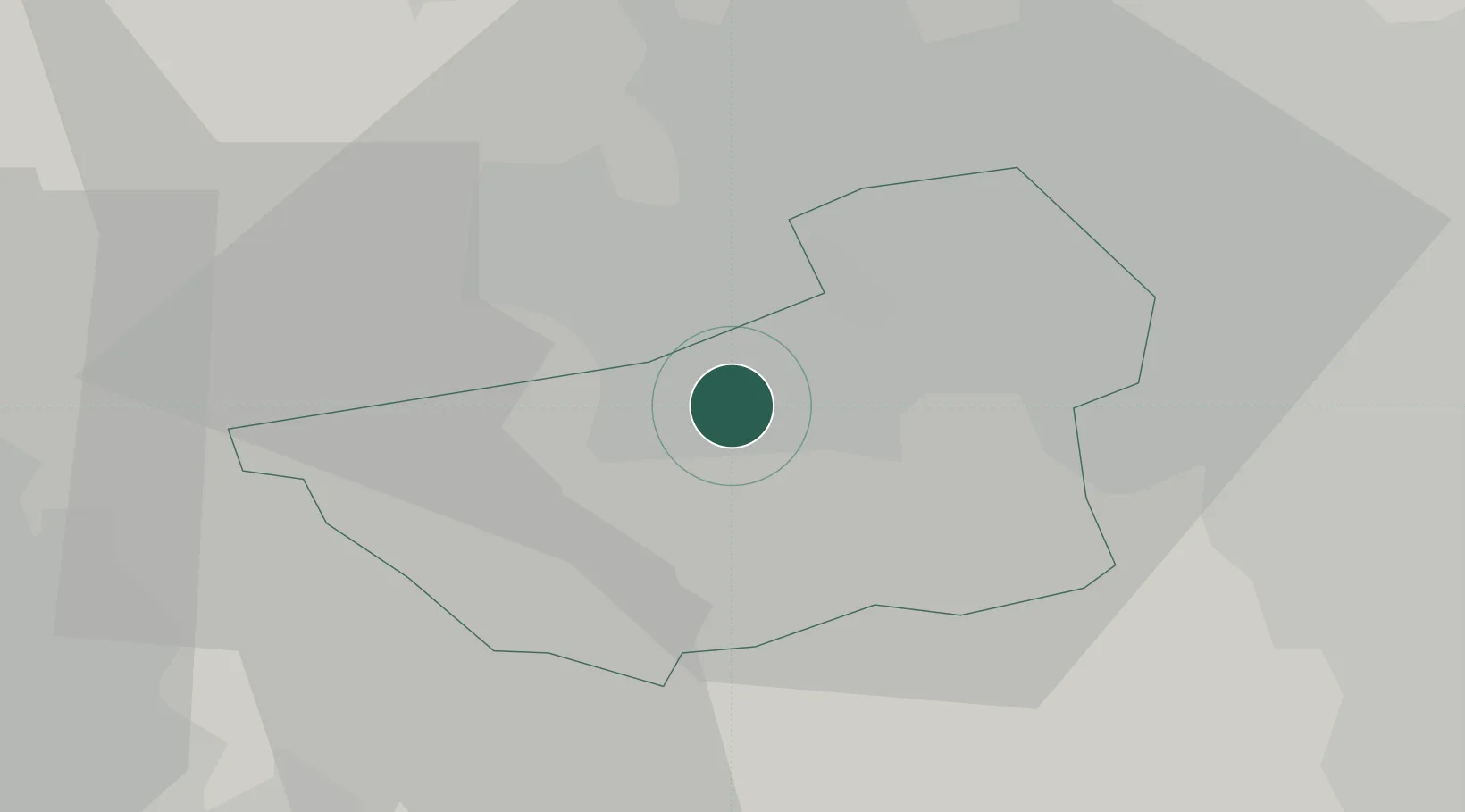
Huddersfield
53.6500°, -1.7833°
149,017
Population
1
Transport functions
Transport Functions
Port
Hub Profile
Place type
Provincial seat
Region
England
Population
149,017
Time zone
Europe/London
Elevation
90 m
Location
Nearby Logistics Neighbours
Cities
- 1Wincobank6 km
- 2Meltham9 km
- 3Dewsbury10 km
- 4Brinsworth11 km
- 5Mackworth14 km
Ports
- 1Manchester37 km
- 2Howdendyke60 km
- 3Goole63 km
- 4Lancaster79 km
- 5Garlston81 km
Airports
- 1Leeds Bradford Airport25 km
- 2Leeds East Airport44 km
- 3Manchester Airport47 km
- 4RAF Topcliffe67 km
- 5Warton Aerodrome73 km
DatabookThe Record of Consolidated Knowledge
United Kingdom beyond logistics?