Transport Functions
Multimodal
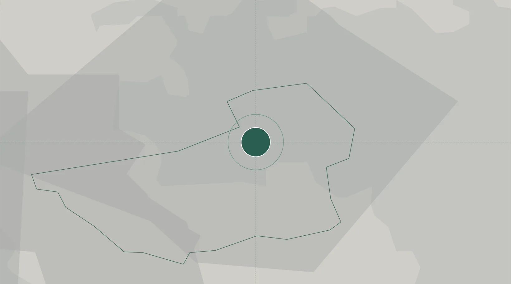
Hub Profile
Place type
Populated place
Region
England
Time zone
Europe/London
Elevation
72 m
Location
Nearby Logistics Neighbours
Cities
- 1Dewsbury5 km
- 2Huddersfield6 km
- 3Brinsworth7 km
- 4Dudley Hill9 km
- 5Bradford11 km
Ports
- 1Manchester43 km
- 2Howdendyke55 km
- 3Goole58 km
- 4Lancaster81 km
- 5Garlston87 km
Airports
- 1Leeds Bradford Airport21 km
- 2Leeds East Airport38 km
- 3Manchester Airport53 km
- 4RAF Topcliffe62 km
- 5RAF Leeming69 km
DatabookThe Record of Consolidated Knowledge
United Kingdom beyond logistics?