UN/LOCODE hub · United Kingdom
GBSDO
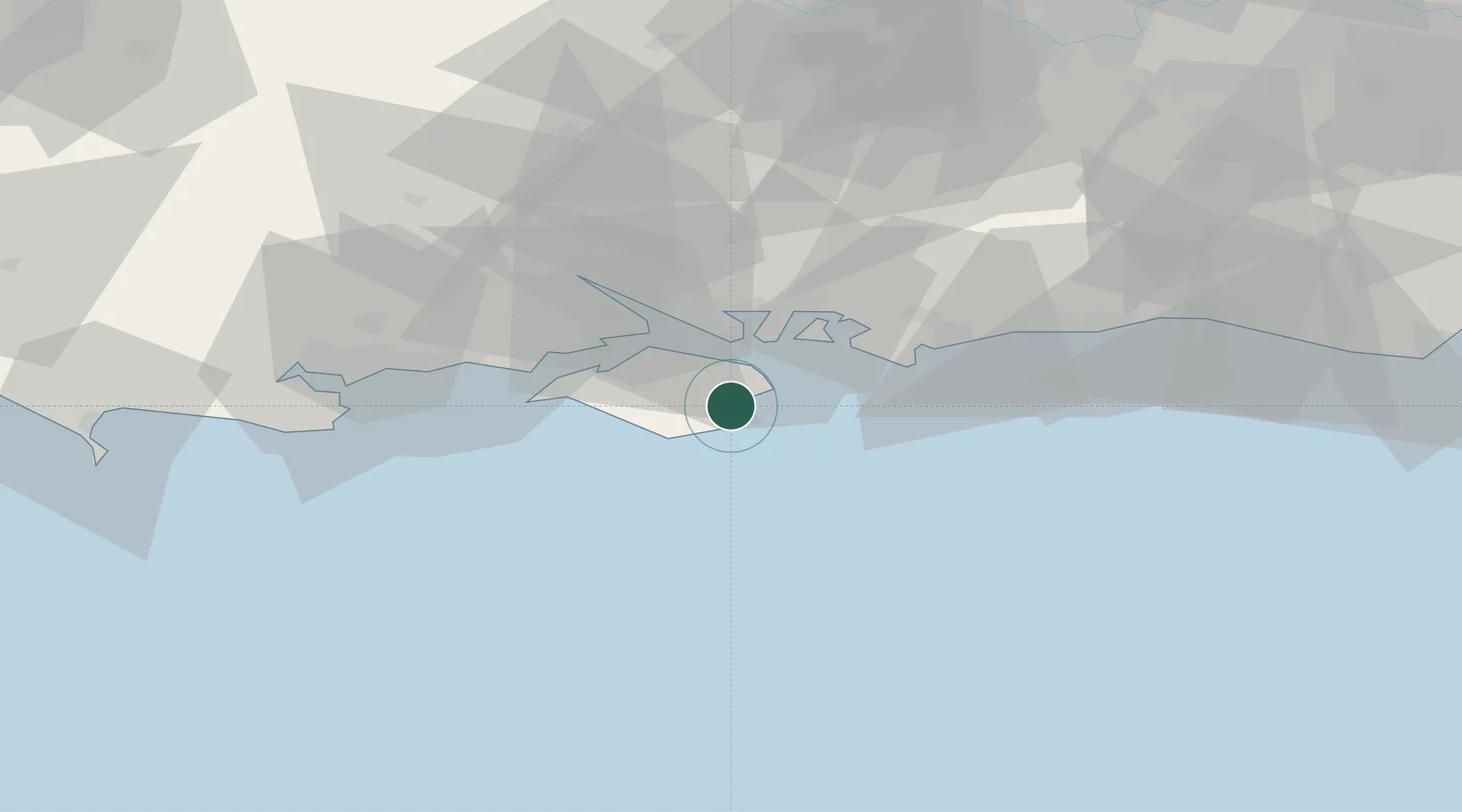
Sandown
50.6500°, -1.1500°
20,155
Population
1
Transport functions
Transport Functions
Port
Hub Profile
Place type
Populated place
Region
England
Population
20,155
Time zone
Europe/London
Elevation
37 m
Location
Nearby Logistics Neighbours
Cities
- 1Shanklin4 km
- 2Saint Helens5 km
- 3Bembridge6 km
- 4Ventnor7 km
- 5Downend7 km
Ports
- 1Cowes Harbour17 km
- 2Portsmouth Harbour17 km
- 3Fawley Marine Terminal23 km
- 4Yarmouth Harbour25 km
- 5Southampton33 km
Airports
- 1Southampton Airport36 km
- 2Bournemouth Airport51 km
- 3Lasham Airfield60 km
- 4Brighton City Airport64 km
- 5RAF Odiham67 km
Trade Zones
DatabookThe Record of Consolidated Knowledge
United Kingdom beyond logistics?