Transport Functions
Multimodal
Hub Profile
Place type
Populated place
Region
England
Time zone
Europe/London
Elevation
58 m
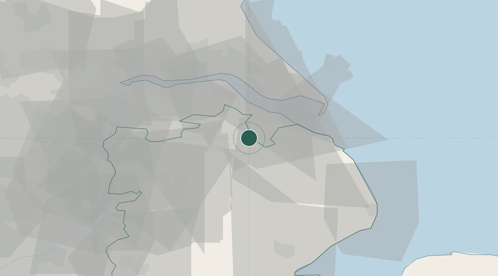
Location
Nearby Logistics Neighbours
Cities
- 1Barnoldby le Beck5 km
- 2South Killingholme12 km
- 3Tetney Terminal13 km
- 4Horncastle15 km
- 5Killingholme18 km
Ports
- 1Grimsby15 km
- 2Immingham19 km
- 3New Holland29 km
- 4Kingston Upon Hull32 km
- 5Goole50 km
Airports
- 1Humberside Airport16 km
- 2RAF Waddington40 km
- 3RAF Coningsby42 km
- 4RAF Cranwell53 km
- 5RAF Barkston Heath62 km
Trade Zones
DatabookThe Record of Consolidated Knowledge
United Kingdom beyond logistics?