UN/LOCODE hub · United Kingdom
GBXHO
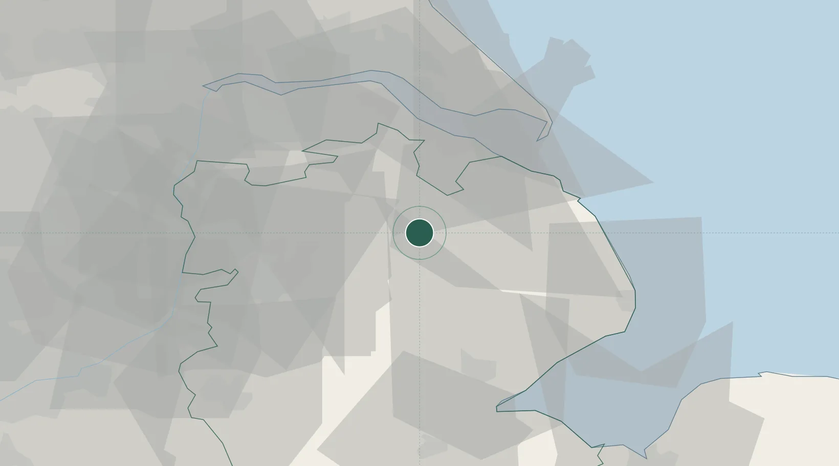
Horncastle
53.3333°, -0.1833°
6,815
Population
1
Transport functions
Transport Functions
Multimodal
Hub Profile
Place type
Populated place
Region
England
Population
6,815
Time zone
Europe/London
Elevation
33 m
Location
Nearby Logistics Neighbours
Cities
- 1Crown Dry-Dock14 km
- 2Thorganby15 km
- 3Barnoldby le Beck19 km
- 4Manby19 km
- 5Caenby21 km
Ports
- 1Grimsby29 km
- 2Immingham33 km
- 3Boston42 km
- 4New Holland43 km
- 5Kingston Upon Hull47 km
Airports
- 1RAF Coningsby27 km
- 2Humberside Airport29 km
- 3RAF Waddington29 km
- 4RAF Cranwell40 km
- 5RAF Barkston Heath48 km
Trade Zones
DatabookThe Record of Consolidated Knowledge
United Kingdom beyond logistics?