UN/LOCODE hub · United Kingdom
GBMAW
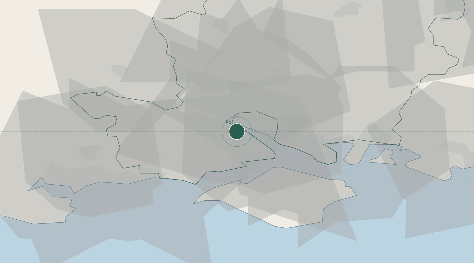
Marchwood
50.8833°, -1.4333°
6,141
Population
2
Transport functions
Transport Functions
Port
Rail
Hub Profile
Place type
Populated place
Region
England
Population
6,141
Time zone
Europe/London
Elevation
10 m
Location
Nearby Logistics Neighbours
Cities
- 1Southampton4 km
- 2Eling4 km
- 3Beaulieu7 km
- 4North Baddesley9 km
- 5Park Gate12 km
Ports
- 1Southampton3 km
- 2Fawley Marine Terminal10 km
- 3Cowes Harbour16 km
- 4Yarmouth Harbour21 km
- 5Portsmouth Harbour25 km
Airports
- 1Southampton Airport9 km
- 2Bournemouth Airport31 km
- 3MoD Boscombe Down37 km
- 4Lasham Airfield44 km
- 5RAF Odiham52 km
Trade Zones
DatabookThe Record of Consolidated Knowledge
United Kingdom beyond logistics?