Transport Functions
Multimodal
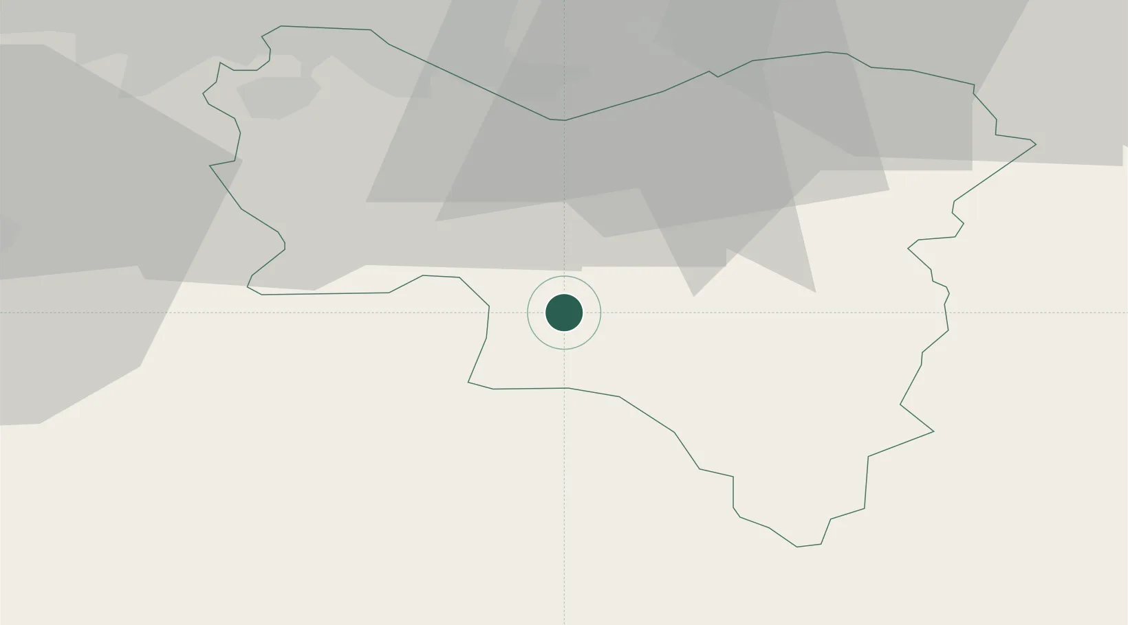
Hub Profile
Place type
Populated place
Region
Scotland
Time zone
Europe/London
Elevation
220 m
Location
Nearby Logistics Neighbours
Cities
- 1Lesmahagow9 km
- 2Muirkirk12 km
- 3Kirkconnel18 km
- 4Strathaven19 km
- 5Law22 km
Ports
- 1Glasgow45 km
- 2Ayr48 km
- 3Renfrew50 km
- 4Troon50 km
- 5Grangemouth55 km
Airports
- 1Glasgow Prestwick Airport44 km
- 2Glasgow Airport51 km
- 3Edinburgh Airport56 km
- 4Carlisle Lake District Airport95 km
- 5RAF Spadeadam100 km
Trade Zones
DatabookThe Record of Consolidated Knowledge
United Kingdom beyond logistics?