UN/LOCODE hub · United Kingdom
GBZDE
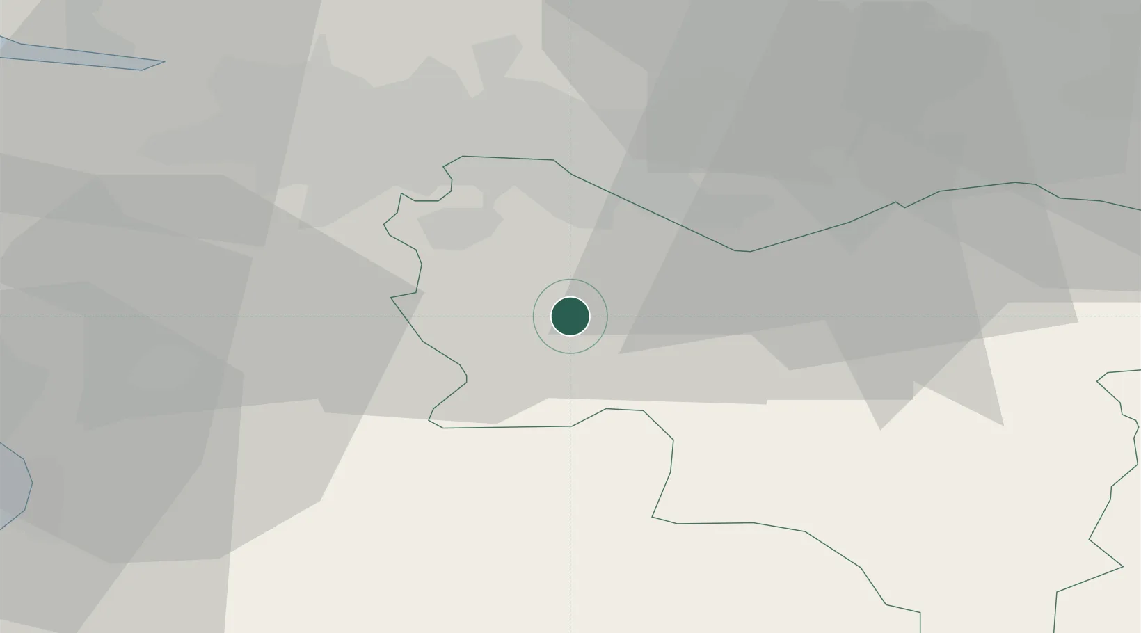
Strathaven
55.6667°, -4.0667°
7,480
Population
1
Transport functions
Transport Functions
Multimodal
Hub Profile
Place type
Populated place
Region
Scotland
Population
7,480
Time zone
Europe/London
Elevation
182 m
Location
Nearby Logistics Neighbours
Cities
- 1Hamilton11 km
- 2Lesmahagow12 km
- 3Law14 km
- 4Darvel17 km
- 5Muirkirk17 km
Ports
- 1Glasgow26 km
- 2Renfrew31 km
- 3Old Kilpatrick37 km
- 4Bowling40 km
- 5Troon41 km
Airports
- 1Glasgow Airport32 km
- 2Glasgow Prestwick Airport37 km
- 3Edinburgh Airport54 km
- 4Campbeltown Airport105 km
- 5Leuchars Station Airfield108 km
Trade Zones
DatabookThe Record of Consolidated Knowledge
United Kingdom beyond logistics?