Transport Functions
Road
Multimodal
Hub Profile
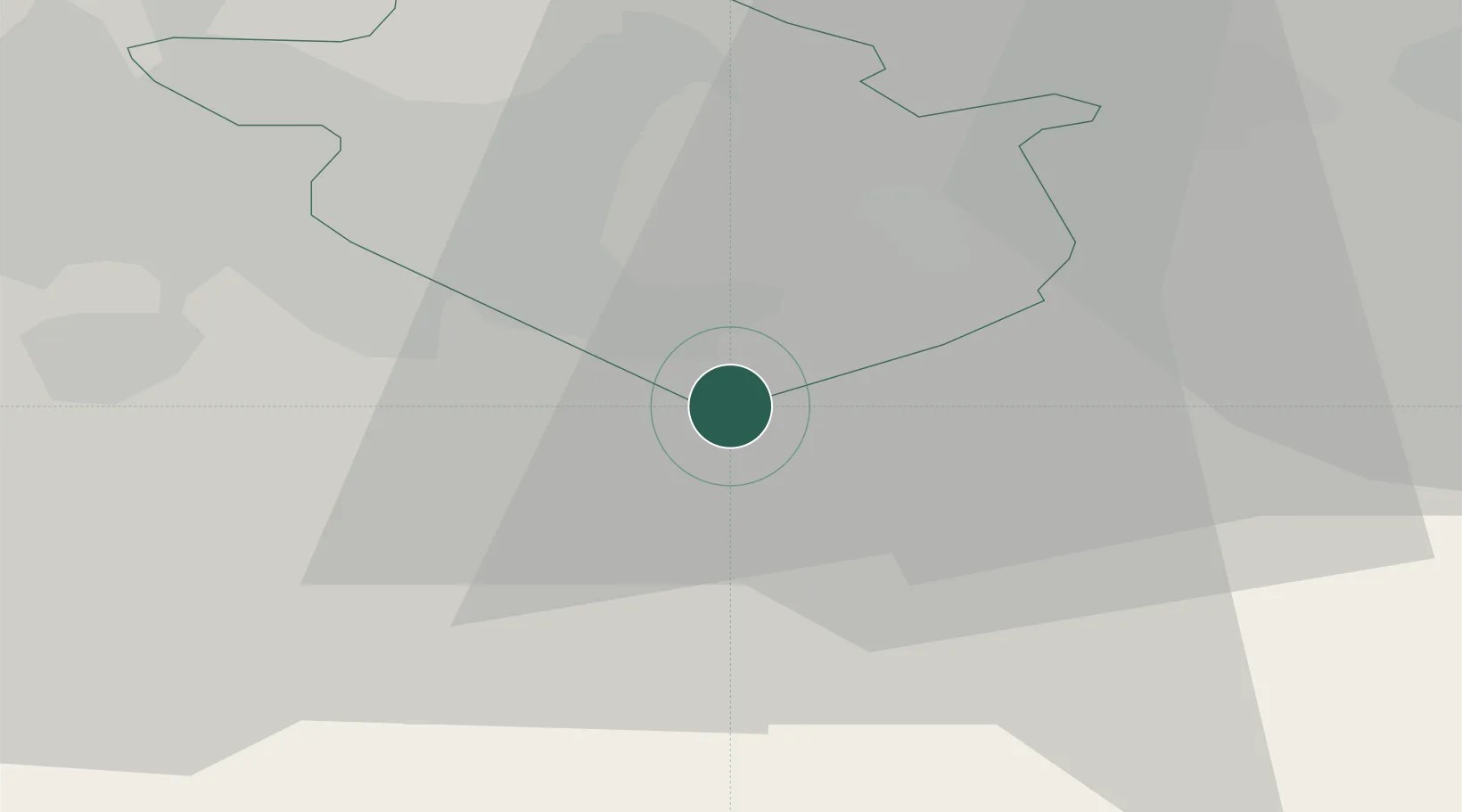
Place type
Populated place
Region
Scotland
Population
3,250
Time zone
Europe/London
Elevation
170 m
Location
Nearby Logistics Neighbours
Cities
- 1Morningside4 km
- 2Hamilton10 km
- 3Shotts10 km
- 4Holytown11 km
- 5Shotts11 km
Ports
- 1Glasgow29 km
- 2Grangemouth33 km
- 3Renfrew35 km
- 4Old Kilpatrick42 km
- 5Rosyth42 km
Airports
- 1Glasgow Airport38 km
- 2Edinburgh Airport40 km
- 3Glasgow Prestwick Airport51 km
- 4Leuchars Station Airfield95 km
- 5Dundee Airport96 km
Trade Zones
DatabookThe Record of Consolidated Knowledge
United Kingdom beyond logistics?