UN/LOCODE hub · United Kingdom
GBMKI
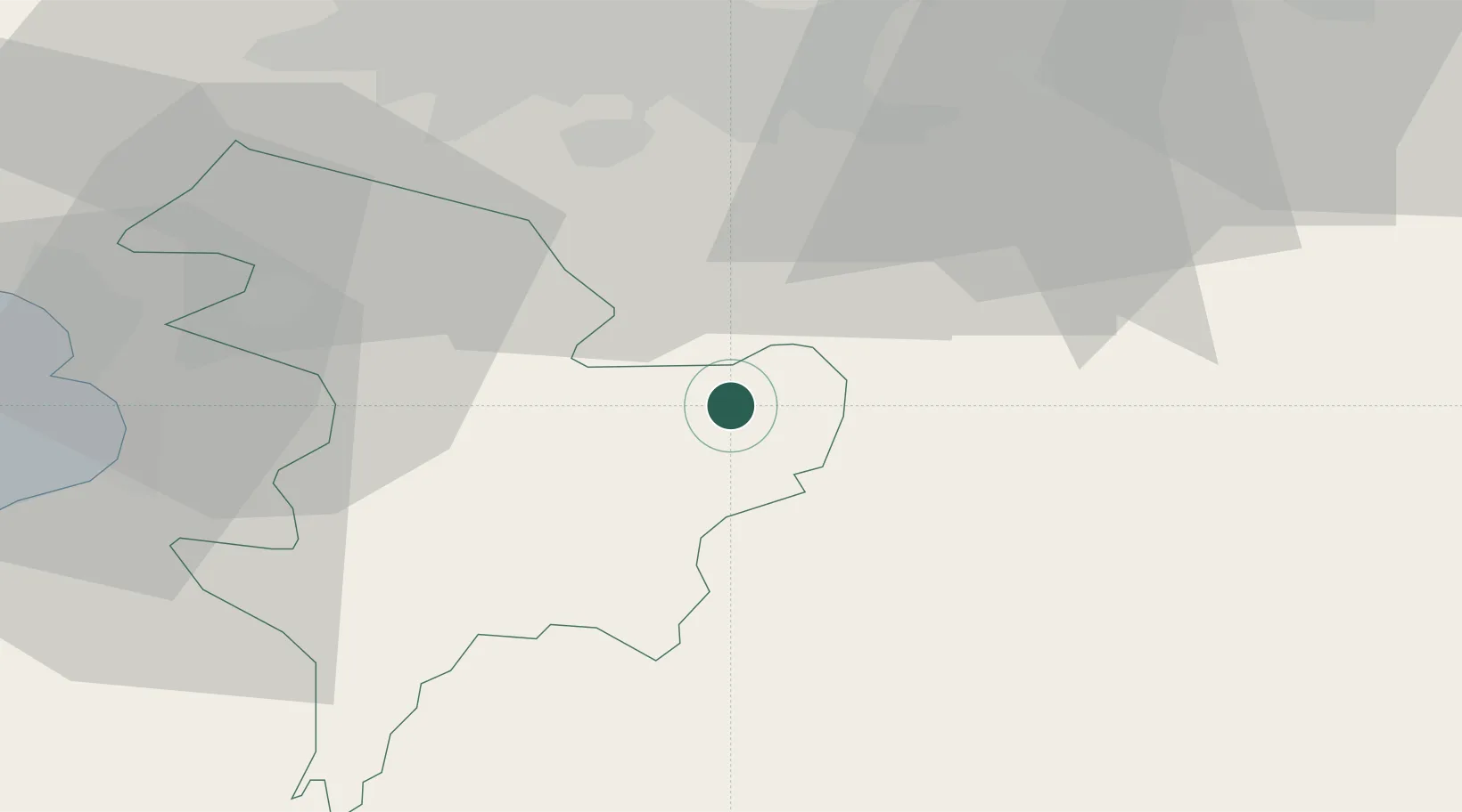
Muirkirk
55.5167°, -4.0667°
1,540
Population
2
Transport functions
Transport Functions
Road
Multimodal
Hub Profile
Place type
Populated place
Region
Scotland
Population
1,540
Time zone
Europe/London
Elevation
228 m
Location
Nearby Logistics Neighbours
Cities
- 1Glespin12 km
- 2Lesmahagow15 km
- 3Kirkconnel15 km
- 4Darvel16 km
- 5Strathaven17 km
Airports
- 1Glasgow Prestwick Airport32 km
- 2Glasgow Airport46 km
- 3Edinburgh Airport65 km
- 4Campbeltown Airport103 km
- 5Carlisle Lake District Airport103 km
Trade Zones
DatabookThe Record of Consolidated Knowledge
United Kingdom beyond logistics?