UN/LOCODE hub · United Kingdom
GBKKN
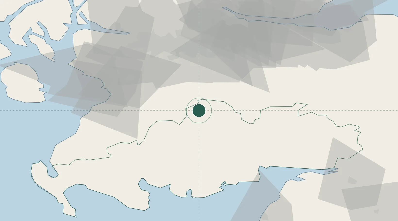
Kirkconnel
55.3833°, -4.0000°
2,070
Population
2
Transport functions
Transport Functions
Port
Road
Hub Profile
Place type
Populated place
Region
Scotland
Population
2,070
Time zone
Europe/London
Elevation
153 m
Location
Nearby Logistics Neighbours
Cities
- 1Muirkirk15 km
- 2Glespin18 km
- 3Lesmahagow27 km
- 4Mauchline28 km
- 5Darvel29 km
Airports
- 1Glasgow Prestwick Airport39 km
- 2Glasgow Airport61 km
- 3Edinburgh Airport74 km
- 4Carlisle Lake District Airport90 km
- 5RAF Spadeadam99 km
Trade Zones
DatabookThe Record of Consolidated Knowledge
United Kingdom beyond logistics?