UN/LOCODE hub · United Kingdom
GBXPI
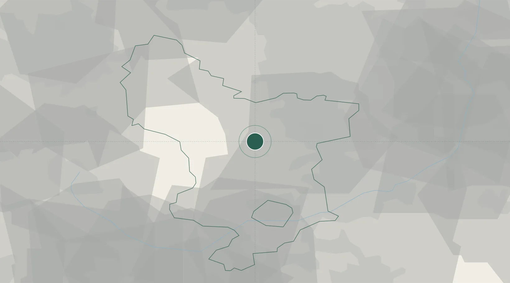
Pinxton
53.1500°, -1.5333°
14,357
Population
1
Transport functions
Transport Functions
Multimodal
Hub Profile
Place type
Populated place
Region
England
Population
14,357
Time zone
Europe/London
Elevation
102 m
Location
Nearby Logistics Neighbours
Cities
- 1Matlock Bath4 km
- 2Ambergate12 km
- 3Holmewood13 km
- 4Curbar15 km
- 5Stony Middleton15 km
Ports
- 1Manchester61 km
- 2Goole77 km
- 3Howdendyke78 km
- 4Garlston94 km
- 5New Holland99 km
Airports
- 1East Midlands Airport38 km
- 2Nottingham City Airport40 km
- 3Manchester Airport54 km
- 4RAF Waddington67 km
- 5RAF Barkston Heath68 km
DatabookThe Record of Consolidated Knowledge
United Kingdom beyond logistics?