Transport Functions
Port
Multimodal
Hub Profile
Place type
Populated place
Region
England
Time zone
Europe/London
Elevation
179 m
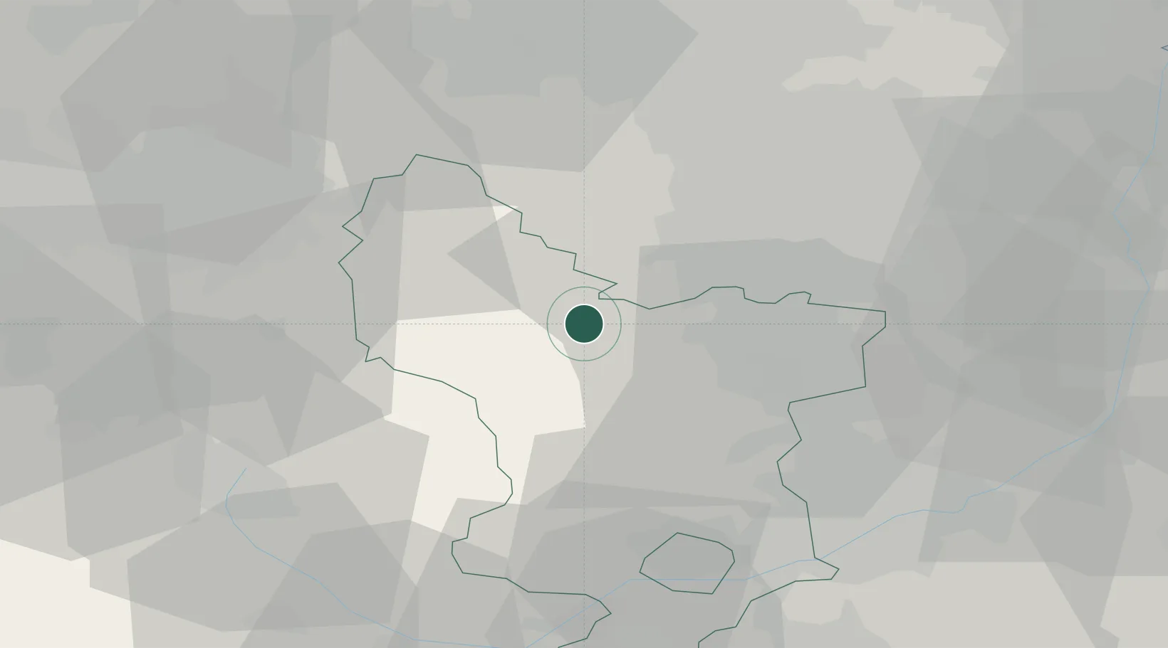
Location
Nearby Logistics Neighbours
Cities
- 1Stony Middleton1 km
- 2Thornhill10 km
- 3Pinxton15 km
- 4Seacroft15 km
- 5Scarcliffe16 km
Ports
- 1Manchester48 km
- 2Goole72 km
- 3Howdendyke72 km
- 4Garlston85 km
- 5Liverpool92 km
Airports
- 1Manchester Airport44 km
- 2East Midlands Airport53 km
- 3Nottingham City Airport53 km
- 4Leeds Bradford Airport67 km
- 5Leeds East Airport70 km
DatabookThe Record of Consolidated Knowledge
United Kingdom beyond logistics?