UN/LOCODE hub · United Kingdom
GBSYO

Stony Middleton

53.2667°, -1.6500°
2
Transport functions

Transport Functions

Road
Multimodal
UN/LOCODE

Hub Profile

Region
DBY
GeoNames

Location

Location of GBSYO
Natural Earth 10m (public domain) · DBY · GBSYO · 53.27, -1.65GoogleOSMYandex

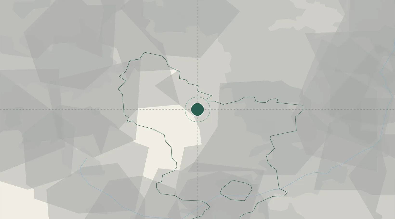
Nearby Logistics Neighbours

Cities
  1. 1Curbar1 km
  2. 2Thornhill10 km
  3. 3Pinxton15 km
  4. 4Seacroft16 km
  5. 5Scarcliffe17 km
Nearest neighbours — logibook spatial index (haversine) over the source coordinates
Ports
  1. 1Manchester48 km
  2. 2Goole72 km
  3. 3Howdendyke73 km
  4. 4Garlston84 km
  5. 5Liverpool91 km
Nearest neighbours — logibook spatial index (haversine) over the source coordinates
Airports
  1. 1Manchester Airport43 km
  2. 2East Midlands Airport53 km
  3. 3Nottingham City Airport54 km
  4. 4Leeds Bradford Airport67 km
  5. 5Leeds East Airport70 km
Nearest neighbours — logibook spatial index (haversine) over the source coordinates
Trade Zones
  1. 1Sheffield City Region Enterprise Zone18 km
  2. 2Manchester Airport City Enterprise Zone44 km
  3. 3Oxford Road Corridor Enterprise Zone44 km
  4. 4Infinity Park Derby Enterprise Zone45 km
  5. 5Nottingham D2N2 Enterprise Zone49 km
Nearest neighbours — logibook spatial index (haversine) over the source coordinates
DatabookThe Record of Consolidated Knowledge
United Kingdom beyond logistics?
Browse databook

All Sources

LocationsUN/LOCODE
UN/LOCODE — free
Portsthe NGA World Port Index
Public domain (US gov)
AirportsOurAirports
Public domain
Trade Zonesthe World Bank SEZ database
CC BY 4.0
Trade ZonesOpen Zone Map
CC BY
← United Kingdom locations