UN/LOCODE hub · United Kingdom
GBXOX
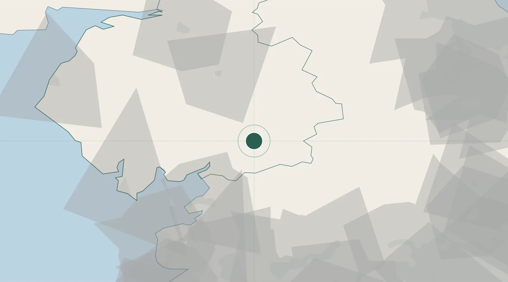
Oxenhope
54.3500°, -2.5833°
1,872
Population
1
Transport functions
Transport Functions
Multimodal
Hub Profile
Place type
District seat
Region
England
Population
1,872
Time zone
Europe/London
Elevation
212 m
Location
Nearby Logistics Neighbours
Ports
- 1Lancaster36 km
- 2Heysham41 km
- 3Barrow In Furness50 km
- 4Fleetwood56 km
- 5Workington72 km
Airports
- 1Barrow Walney Island Airport51 km
- 2Carlisle Lake District Airport67 km
- 3RAF Leeming68 km
- 4Warton Aerodrome70 km
- 5Blackpool Airport71 km
Trade Zones
DatabookThe Record of Consolidated Knowledge
United Kingdom beyond logistics?