Transport Functions
Road
Multimodal
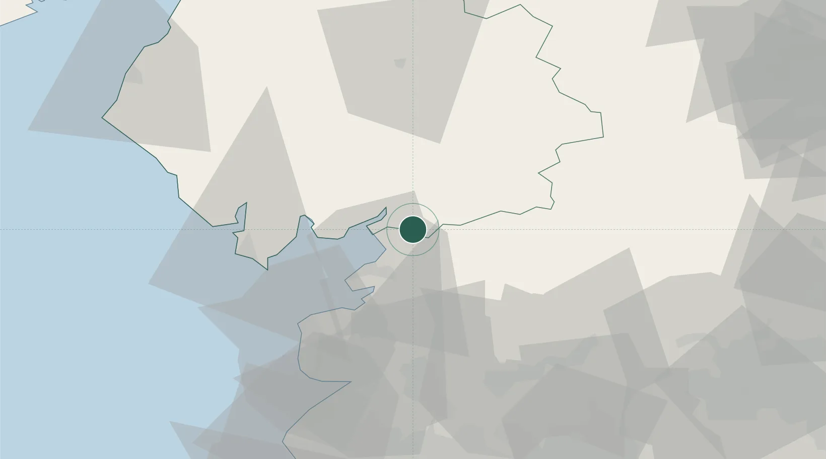
Hub Profile
Place type
Populated place
Region
England
Time zone
Europe/London
Elevation
35 m
Location
Nearby Logistics Neighbours
Cities
- 1Sheildaig7 km
- 2Claughton12 km
- 3Hest Bank12 km
- 4Flookburgh16 km
- 5Heaton19 km
Ports
- 1Lancaster15 km
- 2Heysham21 km
- 3Barrow In Furness35 km
- 4Fleetwood36 km
- 5Workington73 km
Airports
- 1Barrow Walney Island Airport36 km
- 2Warton Aerodrome50 km
- 3Blackpool Airport50 km
- 4Leeds Bradford Airport78 km
- 5RAF Leeming78 km
Trade Zones
DatabookThe Record of Consolidated Knowledge
United Kingdom beyond logistics?