Transport Functions
Port
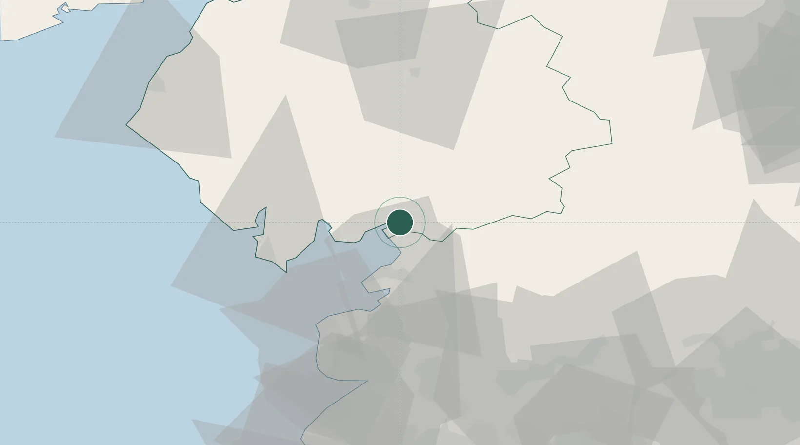
Location
Nearby Logistics Neighbours
Cities
- 1Holme7 km
- 2Flookburgh12 km
- 3Hest Bank15 km
- 4Claughton17 km
- 5Bardsea19 km
Ports
- 1Lancaster19 km
- 2Heysham22 km
- 3Barrow In Furness30 km
- 4Fleetwood36 km
- 5Workington67 km
Airports
- 1Barrow Walney Island Airport32 km
- 2Blackpool Airport52 km
- 3Warton Aerodrome53 km
- 4Carlisle Lake District Airport80 km
- 5RAF Leeming82 km
Trade Zones
DatabookThe Record of Consolidated Knowledge
United Kingdom beyond logistics?