Channel & Berth Profile
Pilotage, Tugs & Services
Pilotage compulsoryYES
Pilotage availableYES
Pilotage advisableYES
Local assistanceYES
Tug assistanceYES
Shore powerYES
Potable waterYES
Diesel bunkersYES
MedicalYES
Garbage disposalYES
Facilities & Capabilities
Container—
Ro-Ro—
Liquid bulk—
Dry bulk—
Oil terminal—
Break bulk—
Dry dock—
RepairsNO
BunkeringYES
Rail linkYES
Dangerous cargo—
ISPS security—
Harbour Specifications
Harbour size
Small
Harbour type
River (Tide Gates)
Shelter
Excellent
Water body
Irish Sea; North Atlantic Ocean
Tidal range
8 m
Overhead limit
No
Pilotage
Yes
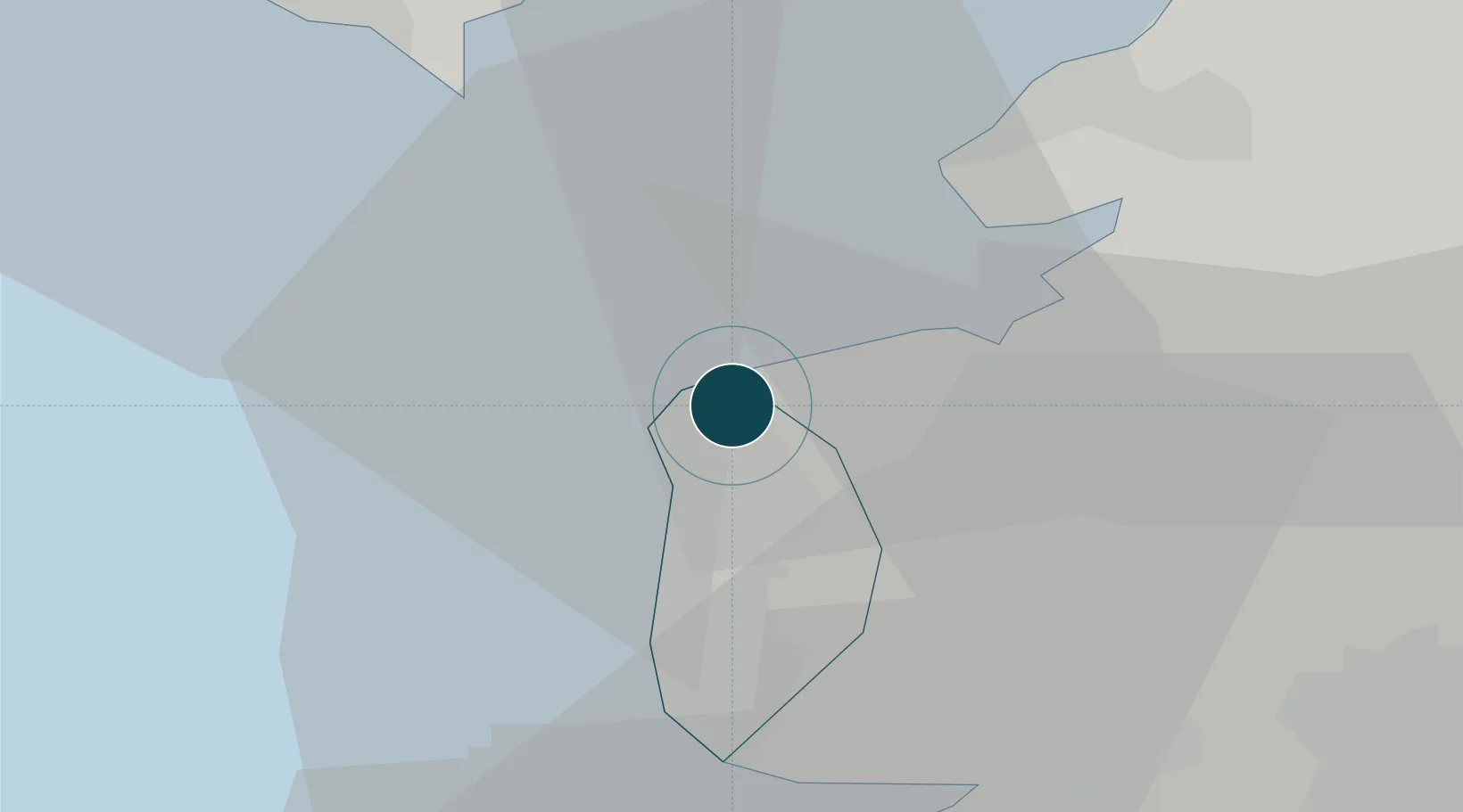
Location
Nearby Logistics Neighbours
Ports
- 1Heysham15 km
- 2Lancaster21 km
- 3Barrow In Furness26 km
- 4Liverpool Bay Terminal55 km
- 5Liverpool56 km
Cities
- 1Pilling7 km
- 2Glasson Dock13 km
- 3Heaton17 km
- 4Galgate17 km
- 5Saint-Anne's-on-Sea19 km
Airports
- 1Blackpool Airport16 km
- 2Warton Aerodrome21 km
- 3Barrow Walney Island Airport29 km
- 4Liverpool John Lennon Airport66 km
- 5Manchester Airport80 km
Trade Zones
DatabookThe Record of Consolidated Knowledge
United Kingdom beyond logistics?