Transport Functions
Multimodal
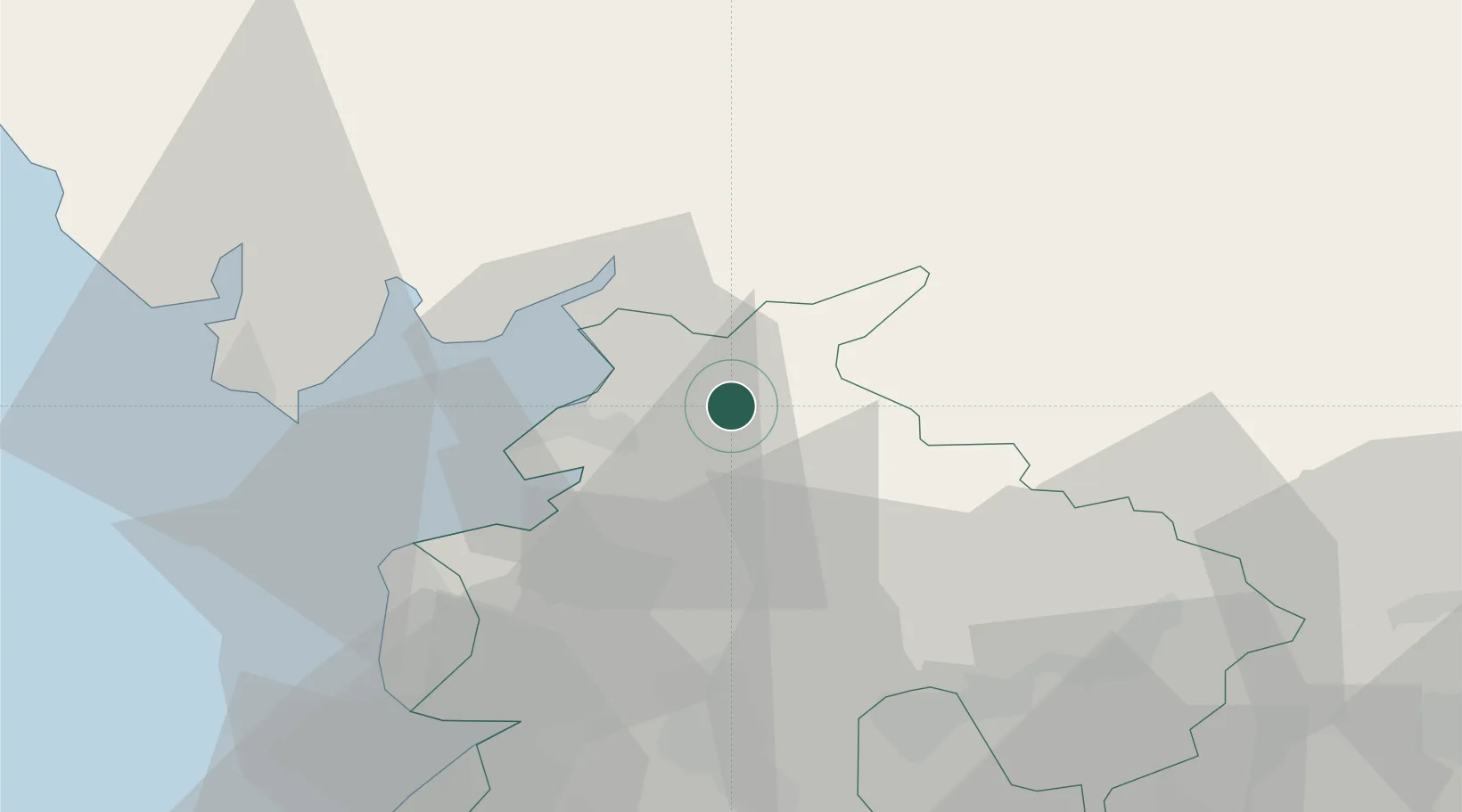
Hub Profile
Place type
Populated place
Region
England
Time zone
Europe/London
Elevation
154 m
Location
Nearby Logistics Neighbours
Cities
- 1Hest Bank9 km
- 2Holme12 km
- 3Abbeystead13 km
- 4Heaton13 km
- 5Galgate14 km
Ports
- 1Lancaster9 km
- 2Heysham17 km
- 3Fleetwood29 km
- 4Barrow In Furness37 km
- 5Manchester72 km
Airports
- 1Barrow Walney Island Airport40 km
- 2Warton Aerodrome40 km
- 3Blackpool Airport42 km
- 4Leeds Bradford Airport70 km
- 5RAF Leeming77 km
Trade Zones
DatabookThe Record of Consolidated Knowledge
United Kingdom beyond logistics?