Transport Functions
Road
Multimodal
Hub Profile
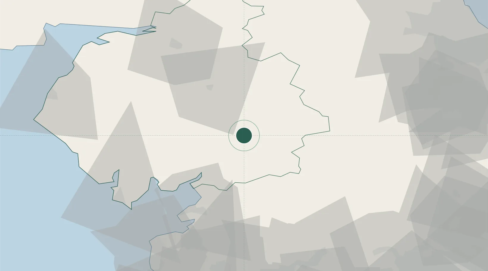
Place type
Populated place
Region
England
Population
393
Time zone
Europe/London
Elevation
200 m
Location
Nearby Logistics Neighbours
Ports
- 1Lancaster45 km
- 2Heysham50 km
- 3Barrow In Furness55 km
- 4Fleetwood64 km
- 5Workington69 km
Airports
- 1Barrow Walney Island Airport56 km
- 2Carlisle Lake District Airport58 km
- 3RAF Spadeadam69 km
- 4RAF Leeming69 km
- 5Teesside International Airport75 km
Trade Zones
DatabookThe Record of Consolidated Knowledge
United Kingdom beyond logistics?