UN/LOCODE hub · United Kingdom
GBAML
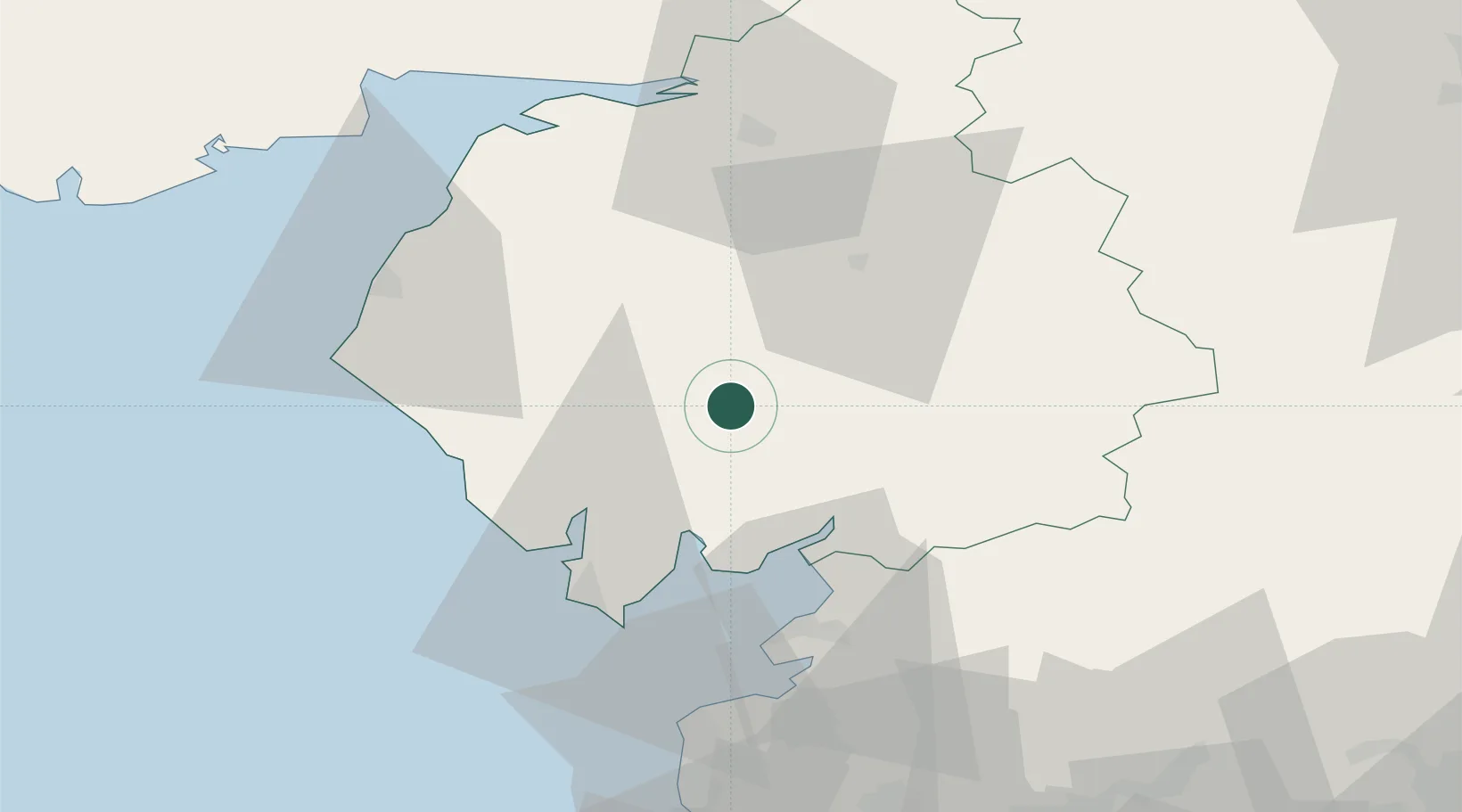
Ambleside
54.4333°, -2.9667°
2,529
Population
1
Transport functions
Transport Functions
Port
Hub Profile
Place type
Populated place
Region
England
Population
2,529
Time zone
Europe/London
Elevation
68 m
Location
Nearby Logistics Neighbours
Cities
- 1Cumbria20 km
- 2Broughton In Furness24 km
- 3Tebay25 km
- 4Sheildaig26 km
- 5Oxenhope27 km
Ports
- 1Barrow In Furness39 km
- 2Lancaster44 km
- 3Heysham45 km
- 4Workington46 km
- 5Silloth56 km
Airports
- 1Barrow Walney Island Airport39 km
- 2Carlisle Lake District Airport57 km
- 3RAF Spadeadam74 km
- 4Blackpool Airport74 km
- 5Warton Aerodrome77 km
Trade Zones
DatabookThe Record of Consolidated Knowledge
United Kingdom beyond logistics?