Transport Functions
Port
Hub Profile
Place type
Populated place
Region
Wales
Population
846
Time zone
Europe/London
Elevation
14 m
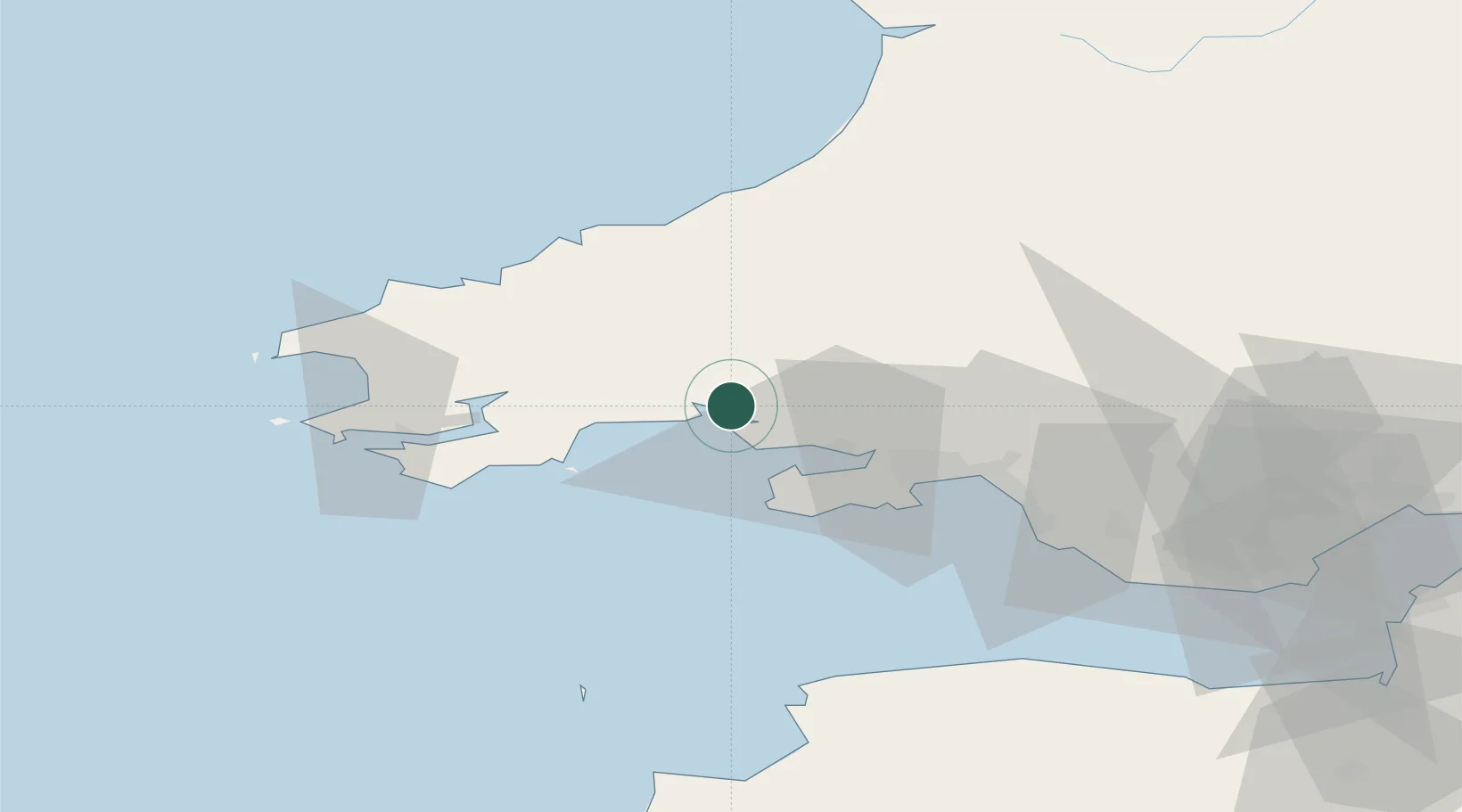
Location
Nearby Logistics Neighbours
Cities
- 1Llansteffan1 km
- 2Llanstephan3 km
- 3Pembrey12 km
- 4Burry Port12 km
- 5Nottage14 km
Ports
- 1Swansea33 km
- 2Neath40 km
- 3Port Talbot43 km
- 4Milford Haven46 km
- 5Fishguard51 km
Airports
- 1Swansea Airport27 km
- 2Haverfordwest Airport42 km
- 3Lundy Island Helipad70 km
- 4MOD St Athan76 km
- 5Royal Marines Base Chivenor77 km
Trade Zones
DatabookThe Record of Consolidated Knowledge
United Kingdom beyond logistics?