Transport Functions
Multimodal
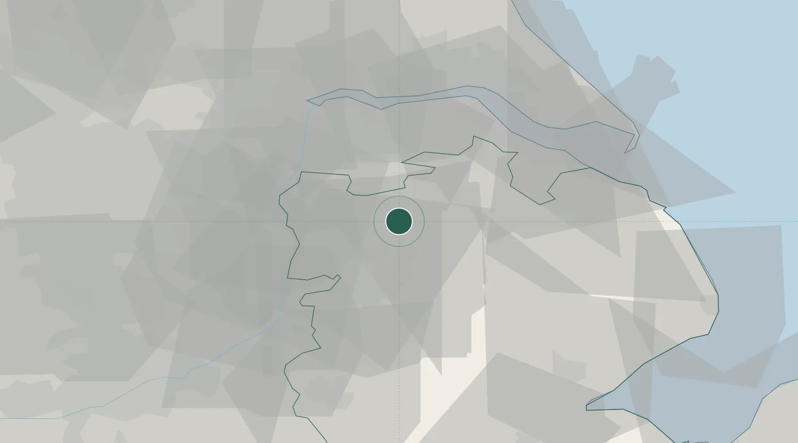
Hub Profile
Place type
Populated place
Region
England
Time zone
Europe/London
Elevation
25 m
Location
Nearby Logistics Neighbours
Cities
- 1Sturton by Stow14 km
- 2Grimsby17 km
- 3Birchwood18 km
- 4Messingham19 km
- 5Crown Dry-Dock20 km
Ports
- 1Immingham34 km
- 2Grimsby35 km
- 3New Holland36 km
- 4Goole42 km
- 5Kingston Upon Hull43 km
Airports
- 1Humberside Airport23 km
- 2RAF Waddington24 km
- 3RAF Coningsby39 km
- 4RAF Cranwell40 km
- 5RAF Barkston Heath47 km
Trade Zones
DatabookThe Record of Consolidated Knowledge
United Kingdom beyond logistics?