Transport Functions
Road
Multimodal
Hub Profile
Place type
Populated place
Region
England
Population
1,479
Time zone
Europe/London
Elevation
14 m
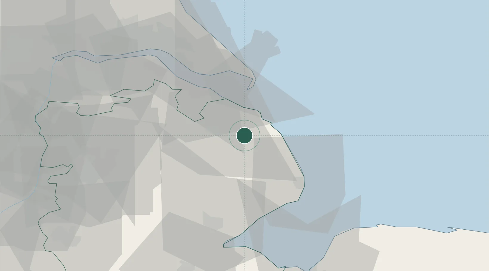
Location
Nearby Logistics Neighbours
Cities
- 1Tetney Terminal14 km
- 2Horncastle19 km
- 3Barnoldby le Beck21 km
- 4Thorganby22 km
- 5Chapel Saint Leonards22 km
Ports
- 1Grimsby27 km
- 2Immingham36 km
- 3Boston45 km
- 4New Holland48 km
- 5Kingston Upon Hull50 km
Airports
- 1RAF Coningsby35 km
- 2Humberside Airport38 km
- 3RAF Waddington47 km
- 4RAF Cranwell55 km
- 5RAF Barkston Heath63 km
Trade Zones
DatabookThe Record of Consolidated Knowledge
United Kingdom beyond logistics?