Transport Functions
Port
Hub Profile
Region
KHL
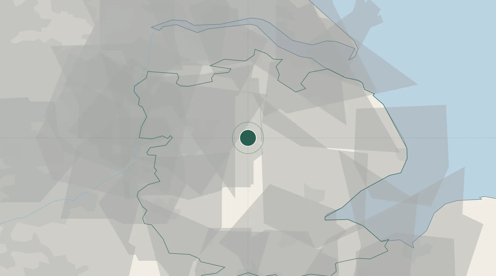
Location
Nearby Logistics Neighbours
Cities
- 1Crowland13 km
- 2Horncastle14 km
- 3Birchwood19 km
- 4Caenby20 km
- 5Ruskington21 km
Ports
- 1Boston36 km
- 2Grimsby42 km
- 3Immingham45 km
- 4New Holland52 km
- 5Kingston Upon Hull58 km
Airports
- 1RAF Waddington16 km
- 2RAF Coningsby19 km
- 3RAF Cranwell26 km
- 4RAF Barkston Heath34 km
- 5Humberside Airport38 km
Trade Zones
DatabookThe Record of Consolidated Knowledge
United Kingdom beyond logistics?