UN/LOCODE hub · United Kingdom
GBXGO
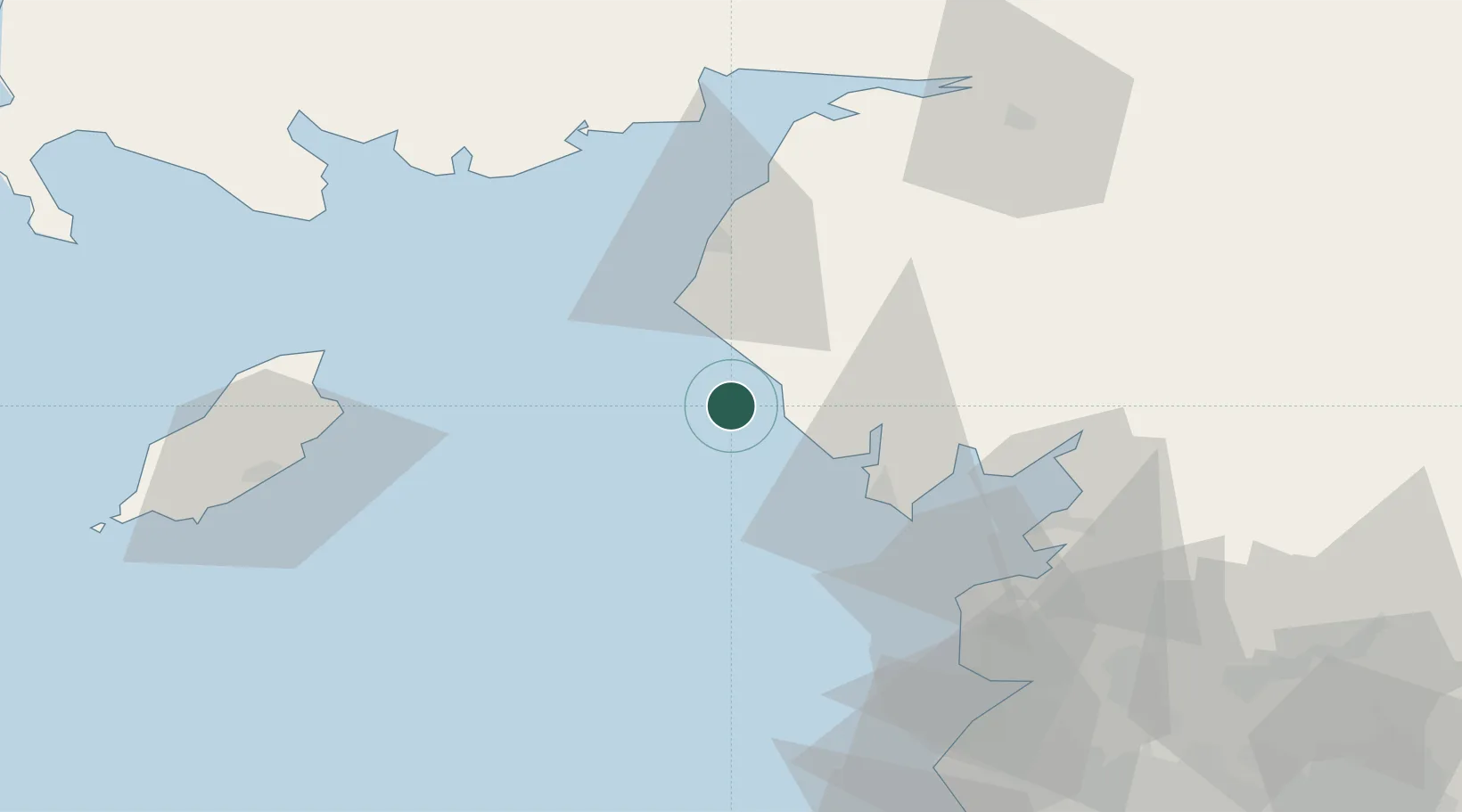
Grange over Sands
54.3000°, -3.5167°
4,788
Population
1
Transport functions
Transport Functions
Multimodal
Hub Profile
Place type
Populated place
Region
England
Population
4,788
Time zone
Europe/London
Elevation
61 m
Location
Nearby Logistics Neighbours
Cities
- 1Ravenglass9 km
- 2Borrowstowness15 km
- 3Broughton In Furness21 km
- 4Barrow in Furness28 km
- 5Cumbria28 km
Ports
- 1Barrow In Furness28 km
- 2Workington31 km
- 3Heysham49 km
- 4Fleetwood54 km
- 5Ramsey55 km
Airports
- 1Barrow Walney Island Airport25 km
- 2Blackpool Airport67 km
- 3Warton Aerodrome74 km
- 4Isle of Man Airport76 km
- 5Carlisle Lake District Airport84 km
Trade Zones
DatabookThe Record of Consolidated Knowledge
United Kingdom beyond logistics?