UN/LOCODE hub · United Kingdom
GBBFU

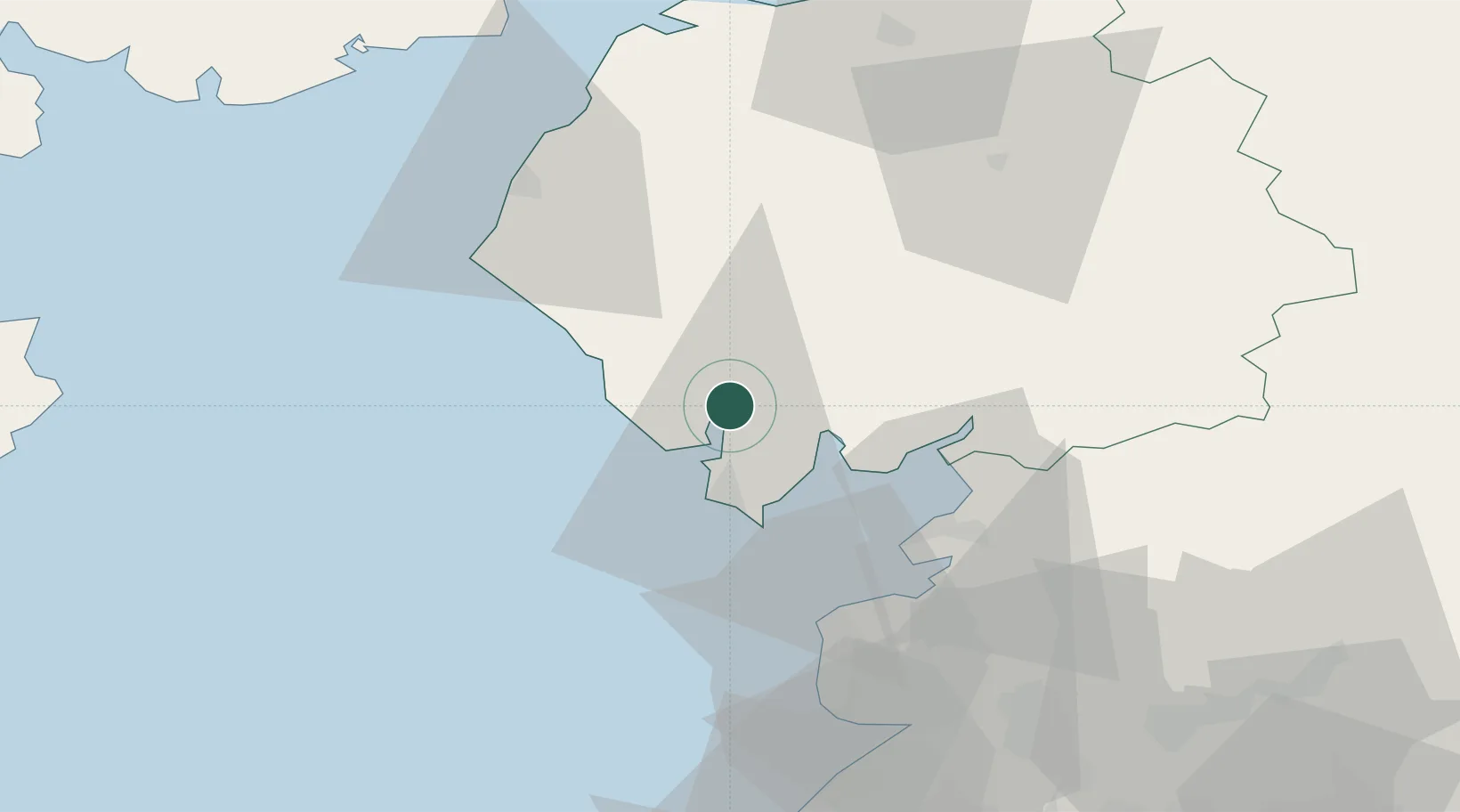
Broughton In Furness

54.2667°, -3.2000°
529
Population
1
Transport functions

Transport Functions

Port
UN/LOCODE

Hub Profile

Place type
Populated place
GeoNames
Region
England
GeoNames
Population
529
GeoNames
Time zone
Europe/London
GeoNames
Elevation
21 m
GeoNames

Location

Location of GBBFU
Natural Earth 10m (public domain) · England · GBBFU · 54.27, -3.20GoogleOSMYandex

Nearby Logistics Neighbours

Cities
  1. 1Bardsea16 km
  2. 2Ravenglass16 km
  3. 3Barrow in Furness17 km
  4. 4Flookburgh19 km
  5. 5Grange over Sands21 km
Nearest neighbours — logibook spatial index (haversine) over the source coordinates
Ports
  1. 1Barrow In Furness17 km
  2. 2Heysham32 km
  3. 3Lancaster36 km
  4. 4Fleetwood41 km
  5. 5Workington44 km
Nearest neighbours — logibook spatial index (haversine) over the source coordinates
Airports
  1. 1Barrow Walney Island Airport16 km
  2. 2Blackpool Airport56 km
  3. 3Warton Aerodrome62 km
  4. 4Carlisle Lake District Airport79 km
  5. 5Isle of Man Airport95 km
Nearest neighbours — logibook spatial index (haversine) over the source coordinates
Trade Zones
  1. 1Blackpool Enterprise Zone56 km
  2. 2Hillhouse Enterprise Zone56 km
  3. 3Lancashire Enterprise Zone64 km
  4. 4Carlisle Kingmoor Park Enterprise Zone76 km
  5. 5Liverpool Free Zone92 km
Nearest neighbours — logibook spatial index (haversine) over the source coordinates
DatabookThe Record of Consolidated Knowledge
United Kingdom beyond logistics?
Browse databook

All Sources

LocationsUN/LOCODE
UN/LOCODE — free
LocationsGeoNames
CC BY 4.0
Portsthe NGA World Port Index
Public domain (US gov)
AirportsOurAirports
Public domain
Trade Zonesthe World Bank SEZ database
CC BY 4.0
Trade ZonesOpen Zone Map
CC BY
← United Kingdom locations