UN/LOCODE hub · United Kingdom
GBBIF
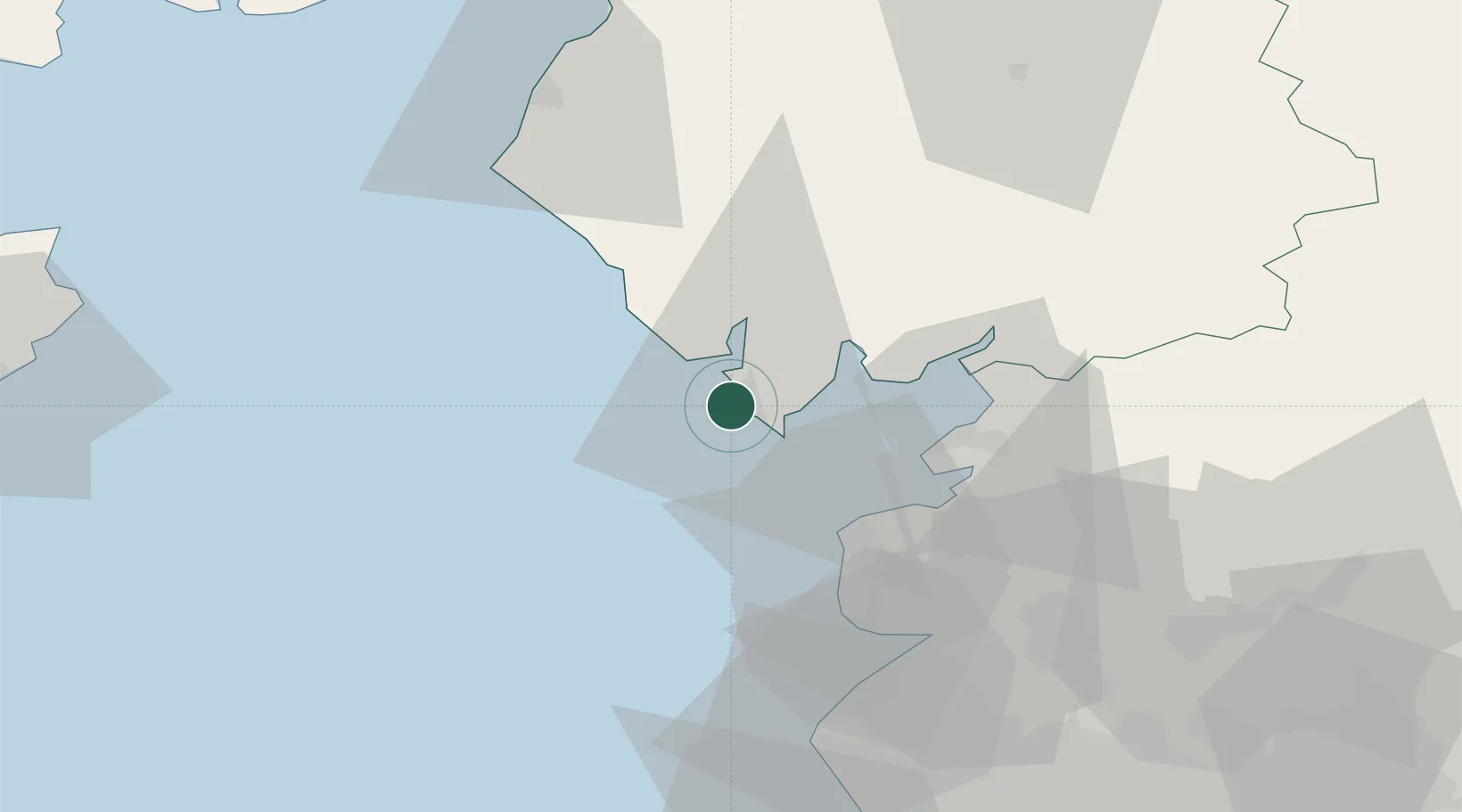
Barrow in Furness
54.1167°, -3.2333°
45,865
Population
2
Transport functions
Transport Functions
Port
Airport
Hub Profile
Place type
Populated place
Region
England
Population
45,865
Time zone
Europe/London
Elevation
17 m
Location
Nearby Logistics Neighbours
Cities
- 1Bardsea12 km
- 2Broughton In Furness17 km
- 3Flookburgh18 km
- 4Heaton27 km
- 5Fleetwood27 km
Ports
- 1Heysham23 km
- 2Fleetwood26 km
- 3Lancaster30 km
- 4Workington56 km
- 5Liverpool Bay Terminal68 km
Airports
- 1Barrow Walney Island Airport3 km
- 2Blackpool Airport41 km
- 3Warton Aerodrome47 km
- 4Liverpool John Lennon Airport91 km
- 5Isle of Man Airport91 km
Trade Zones
DatabookThe Record of Consolidated Knowledge
United Kingdom beyond logistics?