UN/LOCODE hub · United Kingdom
GBBSS

Borrowstowness

54.4333°, -3.5167°
1
Transport functions

Transport Functions

Port
UN/LOCODE

Hub Profile

Region
CMA
GeoNames

Location

Location of GBBSS
Natural Earth 10m (public domain) · CMA · GBBSS · 54.43, -3.52GoogleOSMYandex

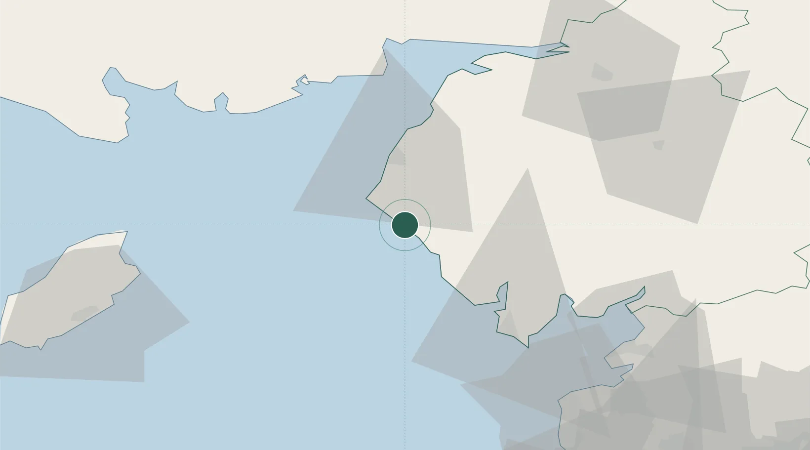
Nearby Logistics Neighbours

Cities
  1. 1Ravenglass12 km
  2. 2Grange over Sands15 km
  3. 3Cumbria19 km
  4. 4Broughton In Furness28 km
  5. 5Ambleside36 km
Nearest neighbours — logibook spatial index (haversine) over the source coordinates
Ports
  1. 1Workington17 km
  2. 2Barrow In Furness40 km
  3. 3Silloth49 km
  4. 4Ramsey57 km
  5. 5Heysham59 km
Nearest neighbours — logibook spatial index (haversine) over the source coordinates
Airports
  1. 1Barrow Walney Island Airport38 km
  2. 2Carlisle Lake District Airport72 km
  3. 3Blackpool Airport80 km
  4. 4Isle of Man Airport82 km
  5. 5Warton Aerodrome87 km
Nearest neighbours — logibook spatial index (haversine) over the source coordinates
Trade Zones
  1. 1Carlisle Kingmoor Park Enterprise Zone66 km
  2. 2Blackpool Enterprise Zone80 km
  3. 3Hillhouse Enterprise Zone81 km
  4. 4Isle of Man Free Zone and Business Park81 km
  5. 5Lancashire Enterprise Zone91 km
Nearest neighbours — logibook spatial index (haversine) over the source coordinates
DatabookThe Record of Consolidated Knowledge
United Kingdom beyond logistics?
Browse databook

All Sources

LocationsUN/LOCODE
UN/LOCODE — free
Portsthe NGA World Port Index
Public domain (US gov)
AirportsOurAirports
Public domain
Trade Zonesthe World Bank SEZ database
CC BY 4.0
Trade ZonesOpen Zone Map
CC BY
← United Kingdom locations