UN/LOCODE hub · United Kingdom
GBWTW
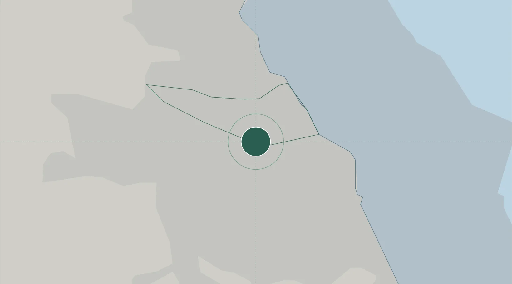
Wallsend
54.9899°, -1.4993°
42,739
Population
2
Transport functions
Transport Functions
Port
Road
Hub Profile
Place type
Provincial seat
Region
England
Population
42,739
Time zone
Europe/London
Elevation
30 m
Logistics facilities
1
Location
Nearby Logistics Neighbours
Cities
- 1Howdon2 km
- 2North Shields2 km
- 3Monkton3 km
- 4Hebburn3 km
- 5South Shields3 km
Ports
- 1Tynemouth6 km
- 2Sunderland12 km
- 3Blyth14 km
- 4Seaham21 km
- 5Hartlepool38 km
Airports
- 1Newcastle International Airport13 km
- 2Teesside International Airport54 km
- 3RAF Spadeadam67 km
- 4RAF Leeming77 km
- 5Carlisle Lake District Airport84 km
Trade Zones
DatabookThe Record of Consolidated Knowledge
United Kingdom beyond logistics?