UN/LOCODE hub · United Kingdom
GBBRF
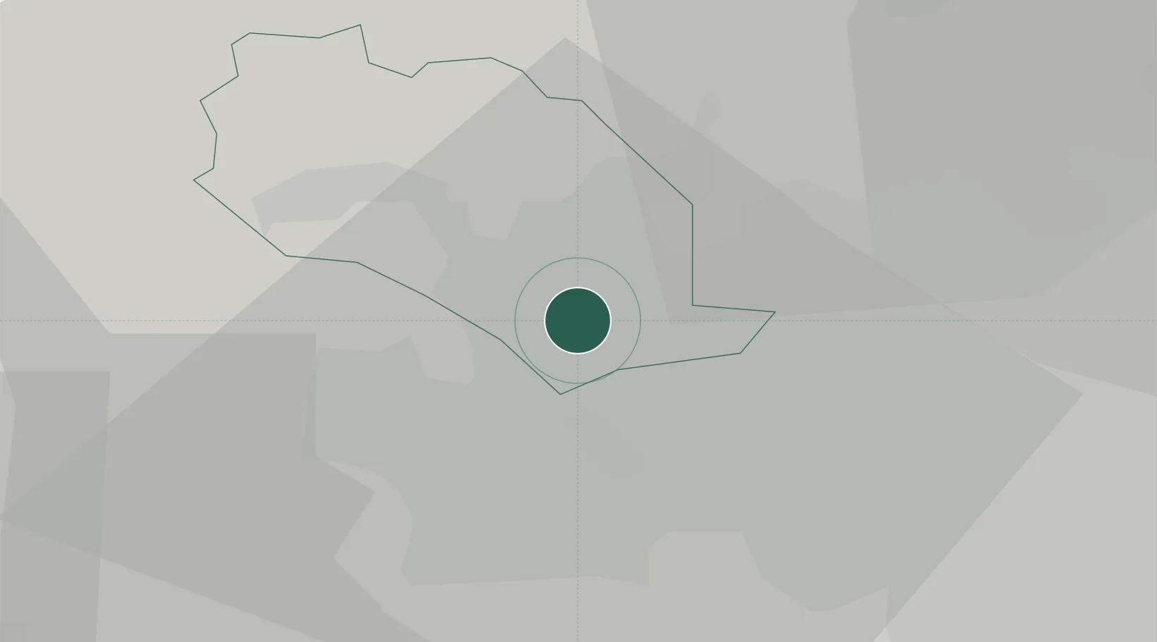
Bradford
53.7837°, -1.7454°
366,187
Population
2
Transport functions
Transport Functions
Port
Airport
Hub Profile
Place type
Provincial seat
Region
England
Population
366,187
Time zone
Europe/London
Elevation
110 m
Logistics facilities
1
Location
Nearby Logistics Neighbours
Cities
- 1Laisterdyke3 km
- 2Dudley Hill3 km
- 3Apperley Bridge6 km
- 4Stanningley8 km
- 5Horsforth9 km
Ports
- 1Manchester48 km
- 2Howdendyke57 km
- 3Goole61 km
- 4Lancaster74 km
- 5Heysham82 km
Airports
- 1Leeds Bradford Airport11 km
- 2Leeds East Airport37 km
- 3RAF Topcliffe53 km
- 4RAF Leeming59 km
- 5Manchester Airport60 km
DatabookThe Record of Consolidated Knowledge
United Kingdom beyond logistics?