UN/LOCODE hub · United Kingdom
GBUPO

Upton

53.6167°, -1.2833°
5,874
Population
2
Transport functions

Transport Functions

Road
Multimodal
UN/LOCODE

Hub Profile

Place type
District seat
GeoNames
Region
England
GeoNames
Population
5,874
GeoNames
Time zone
Europe/London
GeoNames
Elevation
64 m
GeoNames

Location

Location of GBUPO
Natural Earth 10m (public domain) · England · GBUPO · 53.62, -1.28GoogleOSMYandex

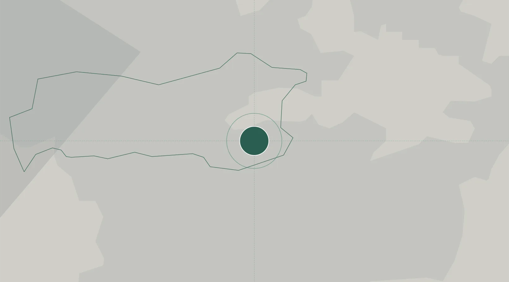
Nearby Logistics Neighbours

Cities
  1. 1Bottesford8 km
  2. 2Adwick le Street9 km
  3. 3Ferrybridge9 km
  4. 4Thurnscoe9 km
  5. 5Royston11 km
Nearest neighbours — logibook spatial index (haversine) over the source coordinates
Ports
  1. 1Howdendyke29 km
  2. 2Goole31 km
  3. 3New Holland61 km
  4. 4Manchester67 km
  5. 5Kingston Upon Hull68 km
Nearest neighbours — logibook spatial index (haversine) over the source coordinates
Airports
  1. 1Leeds East Airport25 km
  2. 2Leeds Bradford Airport37 km
  3. 3Humberside Airport62 km
  4. 4RAF Topcliffe66 km
  5. 5RAF Waddington71 km
Nearest neighbours — logibook spatial index (haversine) over the source coordinates
Trade Zones
  1. 1Aire Valley Leeds Enterprise Zone22 km
  2. 2Sheffield City Region Enterprise Zone29 km
  3. 3York Central Enterprise Zone40 km
  4. 4Humber Enterprise Zone64 km
  5. 5Oxford Road Corridor Enterprise Zone65 km
Nearest neighbours — logibook spatial index (haversine) over the source coordinates
DatabookThe Record of Consolidated Knowledge
United Kingdom beyond logistics?
Browse databook

All Sources

LocationsUN/LOCODE
UN/LOCODE — free
LocationsGeoNames
CC BY 4.0
Portsthe NGA World Port Index
Public domain (US gov)
AirportsOurAirports
Public domain
Trade Zonesthe World Bank SEZ database
CC BY 4.0
Trade ZonesOpen Zone Map
CC BY
← United Kingdom locations