UN/LOCODE hub · United Kingdom
GBFEB
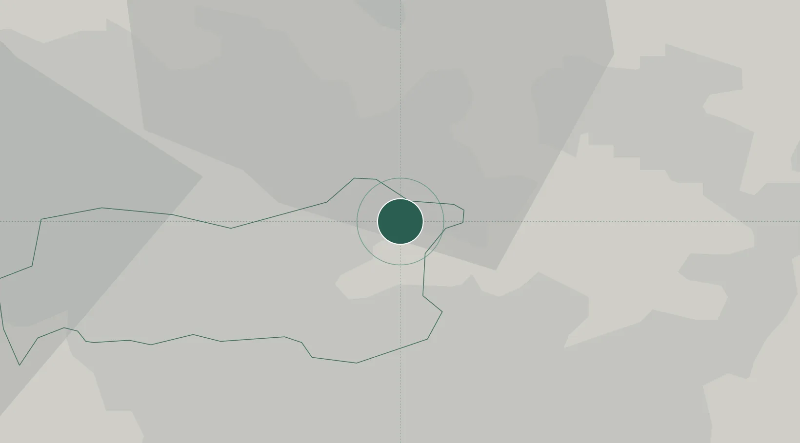
Ferrybridge
53.7000°, -1.2667°
1,491
Population
2
Transport functions
Transport Functions
Port
Road
Hub Profile
Place type
Populated place
Region
England
Population
1,491
Time zone
Europe/London
Elevation
18 m
Location
Nearby Logistics Neighbours
Cities
- 1Castleford7 km
- 2Eggborough8 km
- 3Whitwood8 km
- 4Upton9 km
- 5Hambleton10 km
Ports
- 1Howdendyke26 km
- 2Goole29 km
- 3New Holland59 km
- 4Kingston Upon Hull65 km
- 5Manchester70 km
Airports
- 1Leeds East Airport16 km
- 2Leeds Bradford Airport32 km
- 3RAF Topcliffe57 km
- 4Humberside Airport62 km
- 5RAF Leeming69 km
Trade Zones
DatabookThe Record of Consolidated Knowledge
United Kingdom beyond logistics?