Transport Functions
Multimodal
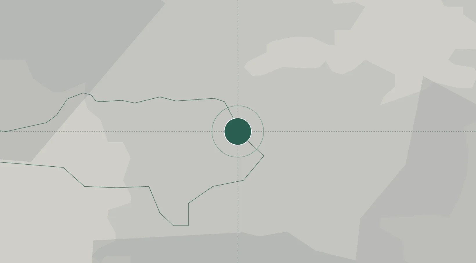
Hub Profile
Place type
District seat
Region
England
Time zone
Europe/London
Elevation
25 m
Location
Nearby Logistics Neighbours
Cities
- 1Thurnscoe3 km
- 2Goldthorpe4 km
- 3Wombwell6 km
- 4Upton8 km
- 5Royston10 km
Ports
- 1Howdendyke36 km
- 2Goole37 km
- 3Manchester62 km
- 4New Holland66 km
- 5Kingston Upon Hull73 km
Airports
- 1Leeds East Airport33 km
- 2Leeds Bradford Airport41 km
- 3Humberside Airport65 km
- 4Manchester Airport67 km
- 5RAF Waddington69 km
DatabookThe Record of Consolidated Knowledge
United Kingdom beyond logistics?