UN/LOCODE hub · United Kingdom
GBAKS
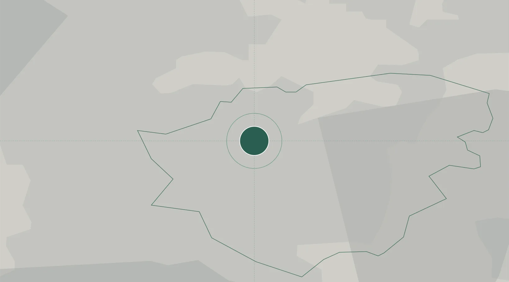
Adwick le Street
53.5667°, -1.1833°
19,481
Population
2
Transport functions
Transport Functions
Road
Multimodal
Hub Profile
Place type
Populated place
Region
England
Population
19,481
Time zone
Europe/London
Elevation
12 m
Location
Nearby Logistics Neighbours
Cities
- 1Thurnscoe9 km
- 2Upton9 km
- 3Goldthorpe10 km
- 4Bottesford10 km
- 5Goole11 km
Ports
- 1Howdendyke27 km
- 2Goole27 km
- 3New Holland56 km
- 4Kingston Upon Hull63 km
- 5Immingham65 km
Airports
- 1Leeds East Airport30 km
- 2Leeds Bradford Airport46 km
- 3Humberside Airport55 km
- 4RAF Waddington62 km
- 5RAF Topcliffe72 km
Trade Zones
DatabookThe Record of Consolidated Knowledge
United Kingdom beyond logistics?