Transport Functions
Multimodal
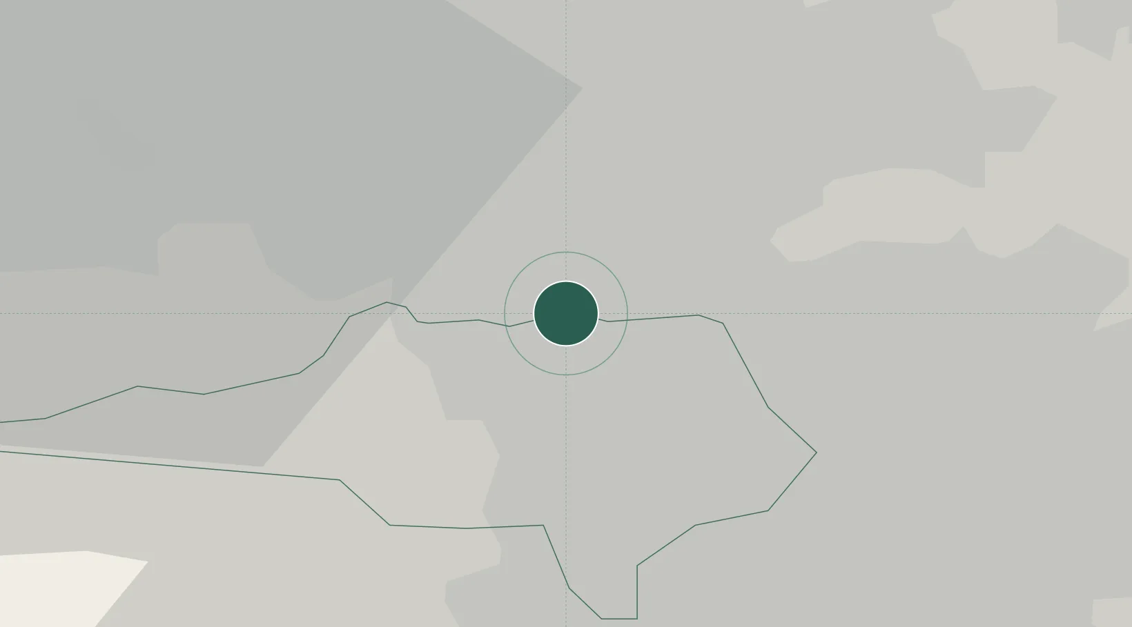
Hub Profile
Place type
Populated place
Region
England
Population
9,584
Time zone
Europe/London
Elevation
69 m
Location
Nearby Logistics Neighbours
Cities
- 1Wakefield4 km
- 2Barnsley6 km
- 3Bottesford10 km
- 4Wombwell10 km
- 5Upton11 km
Ports
- 1Howdendyke40 km
- 2Goole42 km
- 3Manchester56 km
- 4New Holland72 km
- 5Kingston Upon Hull79 km
Airports
- 1Leeds East Airport31 km
- 2Leeds Bradford Airport33 km
- 3Manchester Airport62 km
- 4RAF Topcliffe67 km
- 5Humberside Airport73 km
DatabookThe Record of Consolidated Knowledge
United Kingdom beyond logistics?