Transport Functions
Port
Hub Profile
Place type
Populated place
Region
England
Time zone
Europe/London
Elevation
39 m
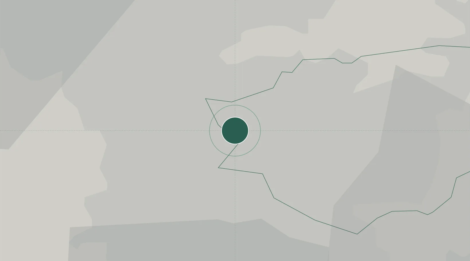
Location
Nearby Logistics Neighbours
Cities
- 1Goldthorpe2 km
- 2Bottesford3 km
- 3Wombwell7 km
- 4Adwick le Street9 km
- 5Upton9 km
Ports
- 1Howdendyke35 km
- 2Goole36 km
- 3Manchester64 km
- 4New Holland64 km
- 5Kingston Upon Hull71 km
Airports
- 1Leeds East Airport34 km
- 2Leeds Bradford Airport44 km
- 3Humberside Airport63 km
- 4RAF Waddington66 km
- 5Manchester Airport68 km
DatabookThe Record of Consolidated Knowledge
United Kingdom beyond logistics?