Transport Functions
Rail
Road
Hub Profile
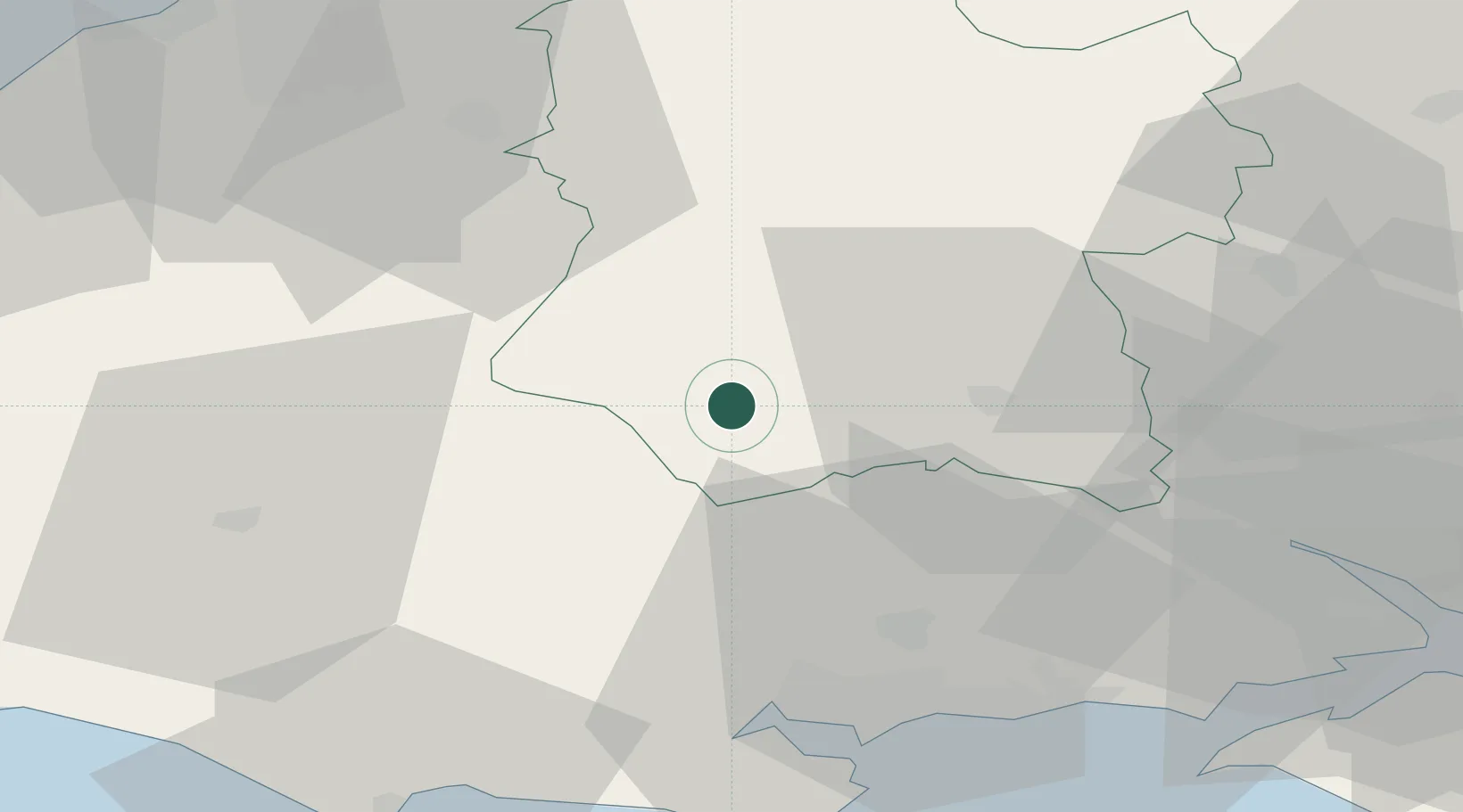
Place type
Populated place
Region
England
Population
2,178
Time zone
Europe/London
Elevation
96 m
Location
Nearby Logistics Neighbours
Cities
- 1Semley6 km
- 2Dinton7 km
- 3Heytesbury13 km
- 4Cranborne20 km
- 5Berkley23 km
Ports
- 1Poole Harbour44 km
- 2Southampton51 km
- 3Weymouth Harbour56 km
- 4Yarmouth Harbour58 km
- 5Bristol59 km
Airports
- 1MoD Boscombe Down25 km
- 2Bournemouth Airport36 km
- 3RNAS Yeovilton39 km
- 4Southampton Airport53 km
- 5Bristol Airport56 km
Trade Zones
DatabookThe Record of Consolidated Knowledge
United Kingdom beyond logistics?