Transport Functions
Rail
Road
Multimodal
Hub Profile
Place type
Populated place
Region
England
Time zone
Europe/London
Elevation
127 m
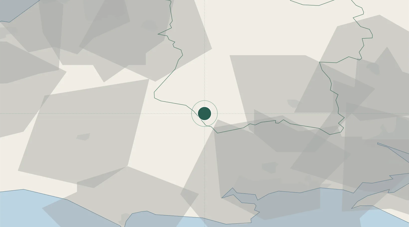
Location
Nearby Logistics Neighbours
Cities
- 1Tisbury6 km
- 2Dinton13 km
- 3Heytesbury17 km
- 4Stalbridge18 km
- 5Cranborne21 km
Ports
- 1Poole Harbour41 km
- 2Weymouth Harbour51 km
- 3Portland Harbour54 km
- 4Southampton55 km
- 5Bridport Harbour56 km
Airports
- 1MoD Boscombe Down31 km
- 2RNAS Yeovilton34 km
- 3Bournemouth Airport36 km
- 4Bristol Airport55 km
- 5Southampton Airport56 km
Trade Zones
DatabookThe Record of Consolidated Knowledge
United Kingdom beyond logistics?