Transport Functions
Multimodal
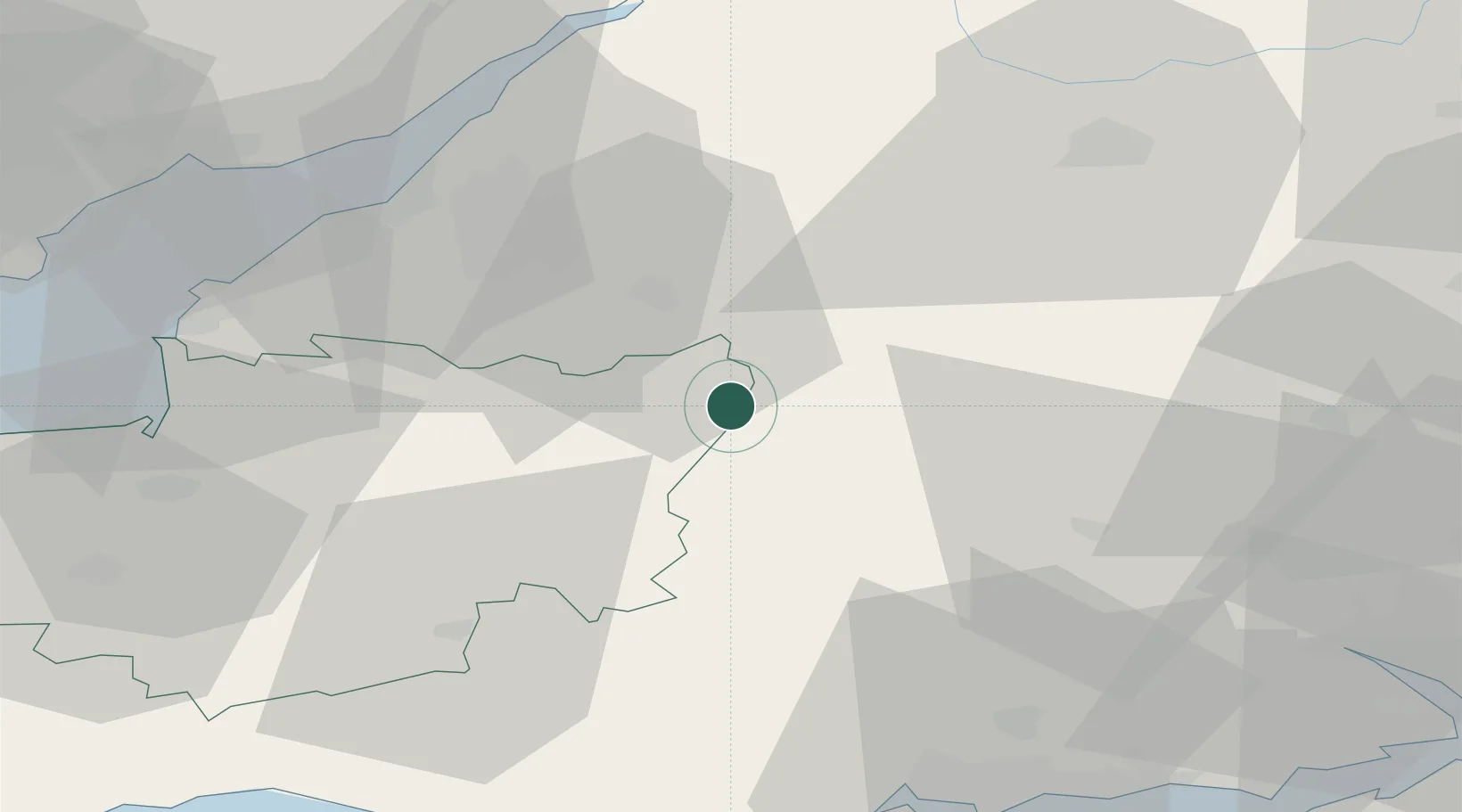
Hub Profile
Place type
Populated place
Region
England
Time zone
Europe/London
Elevation
81 m
Location
Nearby Logistics Neighbours
Cities
- 1Heytesbury13 km
- 2Downhead13 km
- 3Staverton14 km
- 4Cranmore15 km
- 5Bath16 km
Ports
- 1Bristol36 km
- 2Avonmouth43 km
- 3Bridgwater52 km
- 4Sharpness56 km
- 5Newport61 km
Airports
- 1Bristol Airport35 km
- 2RNAS Yeovilton36 km
- 3MoD Boscombe Down37 km
- 4Bournemouth Airport59 km
- 5RAF Fairford60 km
Trade Zones
- 1Bristol Temple Quarter Enterprise Zone32 km
- 2Dorset Innovation Park61 km
- 3EZ³ Enterprise Zone67 km
- 4Southampton Free Zone68 km
- 5Ceramics Valley74 km
DatabookThe Record of Consolidated Knowledge
United Kingdom beyond logistics?