Transport Functions
Rail
Road
Hub Profile
Place type
District seat
Region
England
Population
696
Time zone
Europe/London
Elevation
89 m
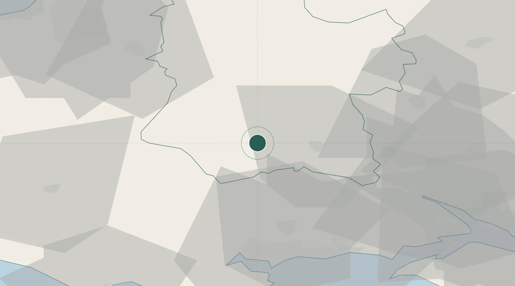
Location
Nearby Logistics Neighbours
Cities
- 1Tisbury7 km
- 2Semley13 km
- 3Heytesbury14 km
- 4Cranborne19 km
- 5Whiteparish25 km
Ports
- 1Poole Harbour45 km
- 2Southampton46 km
- 3Fawley Marine Terminal54 km
- 4Yarmouth Harbour55 km
- 5Cowes Harbour59 km
Airports
- 1MoD Boscombe Down18 km
- 2Bournemouth Airport35 km
- 3Southampton Airport46 km
- 4RNAS Yeovilton47 km
- 5Bristol Airport61 km
Trade Zones
DatabookThe Record of Consolidated Knowledge
United Kingdom beyond logistics?