UN/LOCODE hub · United Kingdom
GBHTY
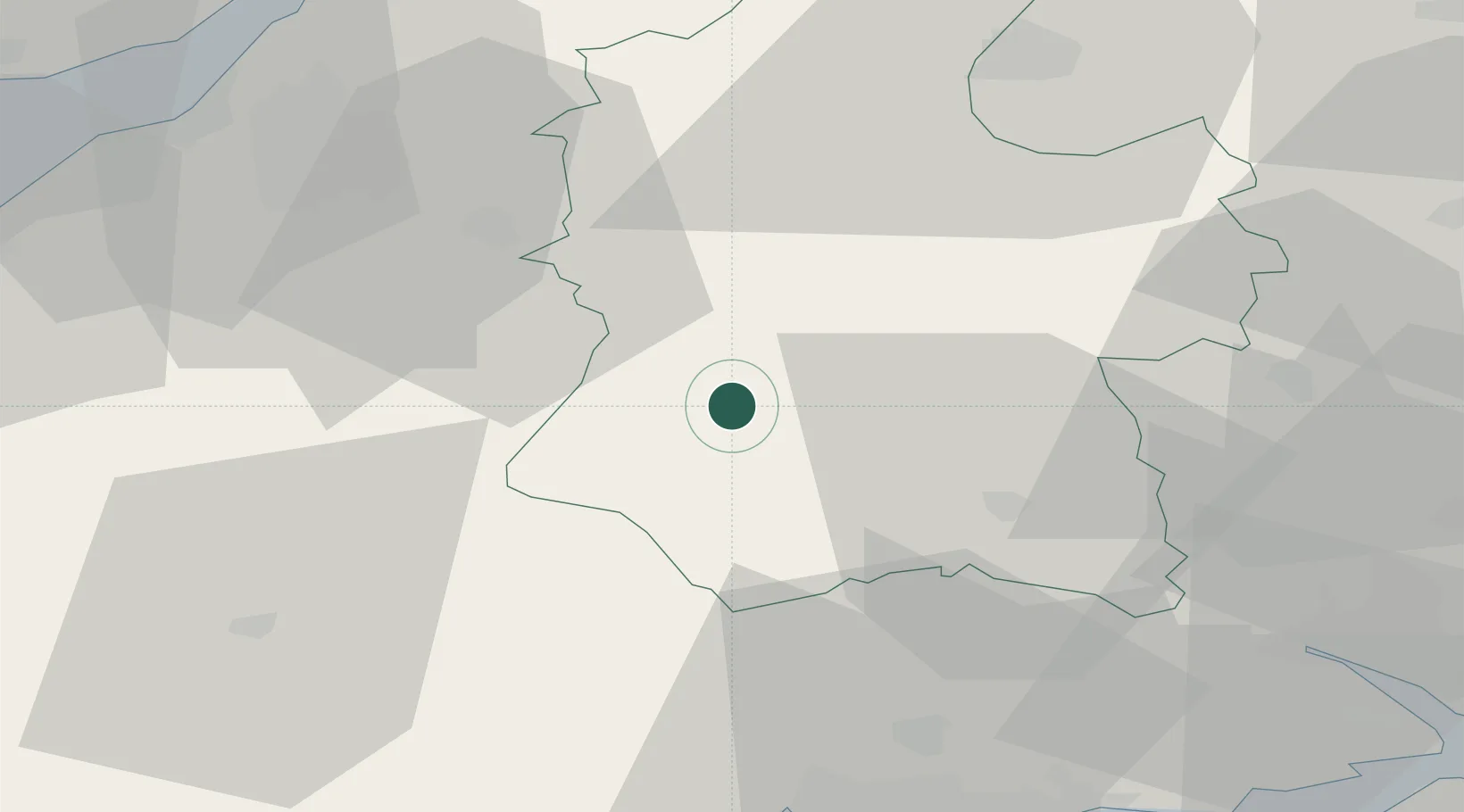
Heytesbury
51.1833°, -2.1000°
540
Population
2
Transport functions
Transport Functions
Rail
Road
Hub Profile
Place type
Populated place
Region
England
Population
540
Time zone
Europe/London
Elevation
98 m
Location
Nearby Logistics Neighbours
Ports
- 1Bristol49 km
- 2Avonmouth55 km
- 3Poole Harbour57 km
- 4Southampton58 km
- 5Bridgwater63 km
Airports
- 1MoD Boscombe Down25 km
- 2RNAS Yeovilton42 km
- 3Bristol Airport48 km
- 4Bournemouth Airport48 km
- 5Southampton Airport58 km
Trade Zones
DatabookThe Record of Consolidated Knowledge
United Kingdom beyond logistics?