Transport Functions
Port
Rail
Road
Hub Profile
Place type
Populated place
Region
England
Time zone
Europe/London
Elevation
213 m
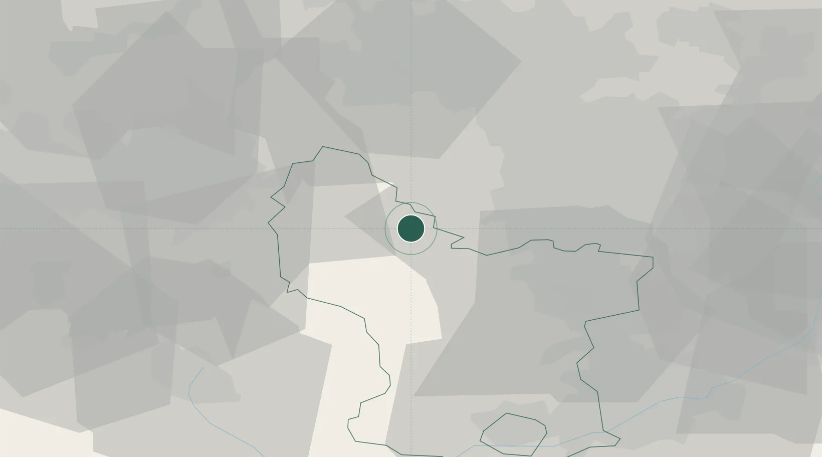
Location
Nearby Logistics Neighbours
Cities
- 1Stony Middleton10 km
- 2Curbar10 km
- 3New Mills15 km
- 4Loxley15 km
- 5Seacroft17 km
Ports
- 1Manchester40 km
- 2Howdendyke69 km
- 3Goole69 km
- 4Garlston80 km
- 5Liverpool87 km
Airports
- 1Manchester Airport39 km
- 2Leeds Bradford Airport57 km
- 3East Midlands Airport63 km
- 4Nottingham City Airport63 km
- 5Leeds East Airport63 km
DatabookThe Record of Consolidated Knowledge
United Kingdom beyond logistics?